search
search
add Neue Reise
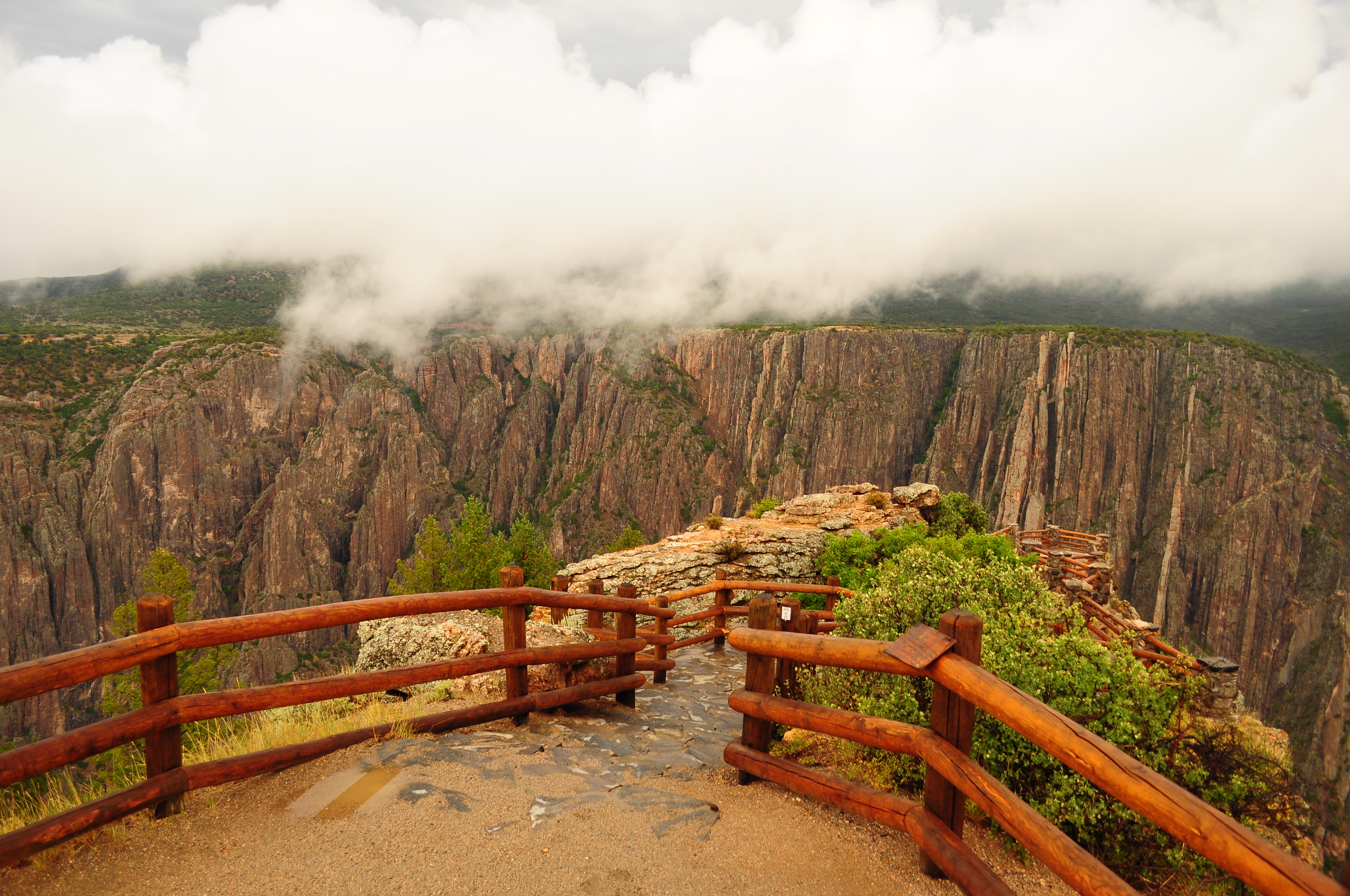
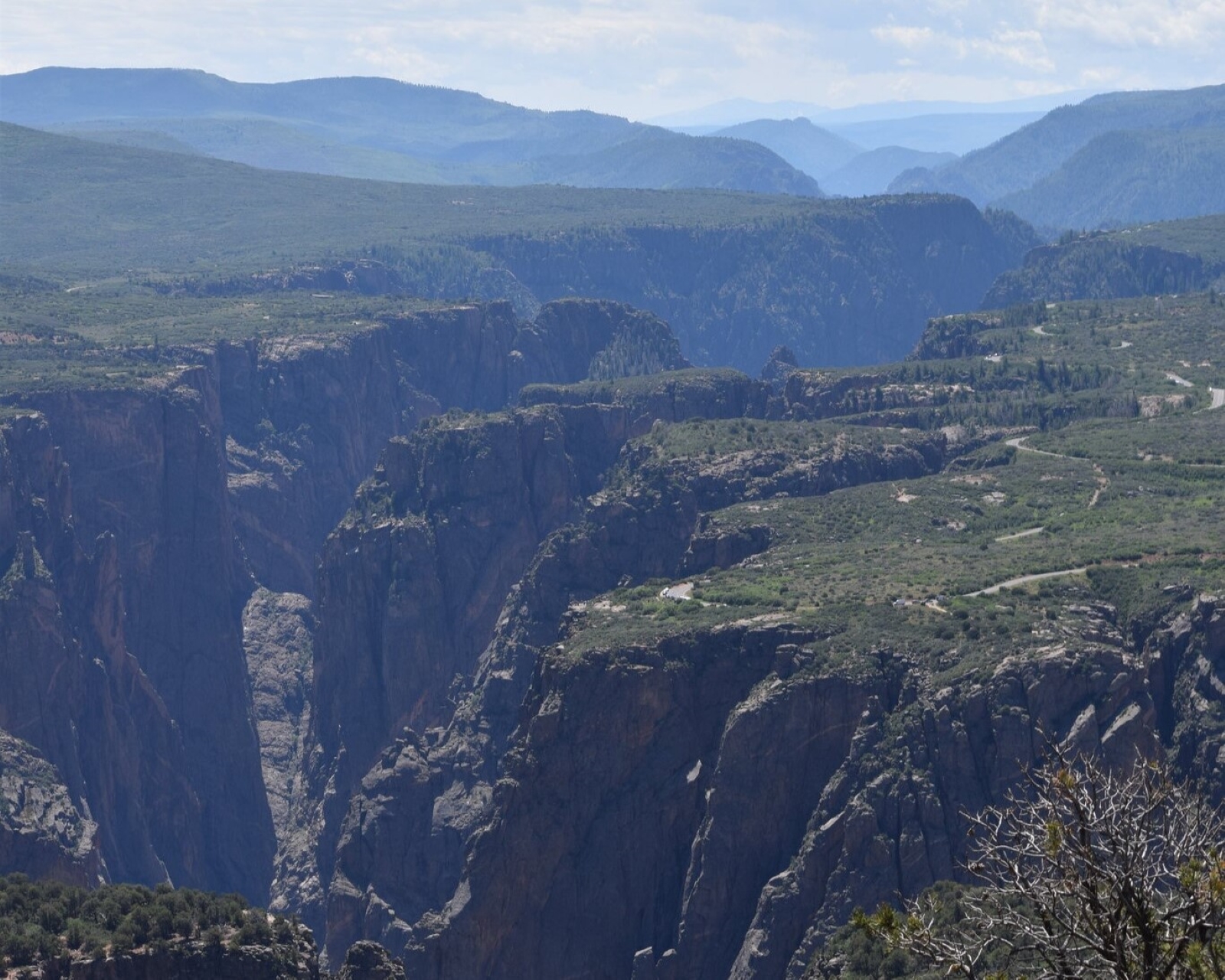
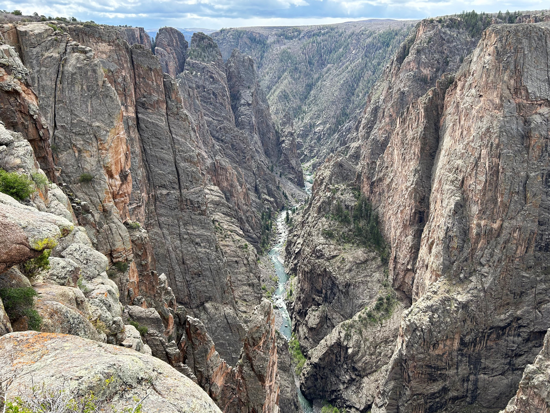
Black Canyon near Tomichi Point

Black Canyon Of The Gunnison National Park

warningInformation1 warning calendar_monthMai–Jun, Sep–Oktbest time schedule2 Tageplan for child_careYeswith kids confirmation_number~€13entry
Black Canyon Of The Gunnison National ParkYour own route Plan a trip here →
Information Cashless Operations

Black Canyon's operations are now cashless. South Rim Campground is by reservation only via Recreation.gov. East Portal & North Rim campground sites are first-come first-served and accept payment using Scan & Pay through Recreation.gov's mobile app. Details open_in_new

Straight from the US National Park Service, refreshed several times a day.

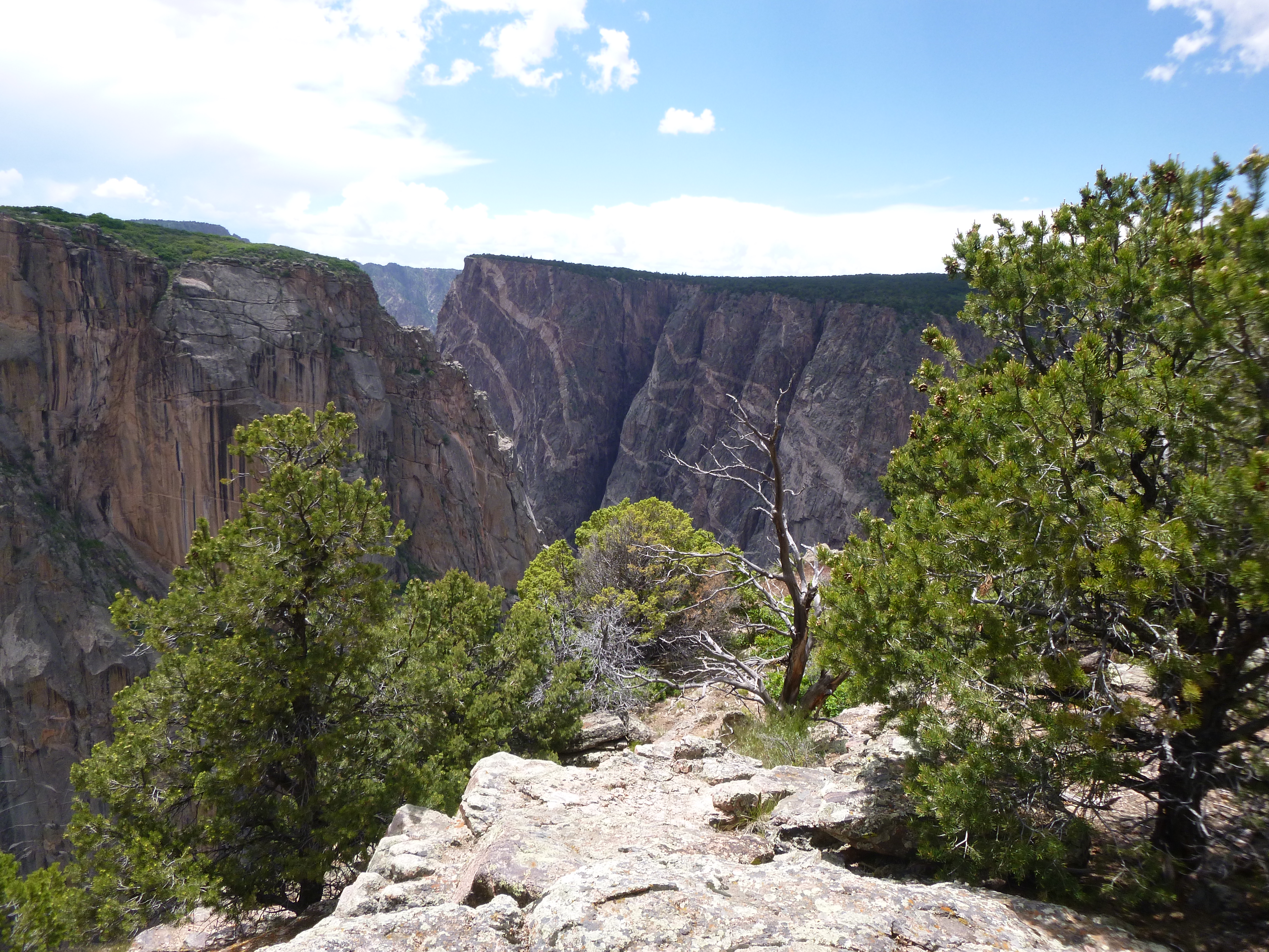
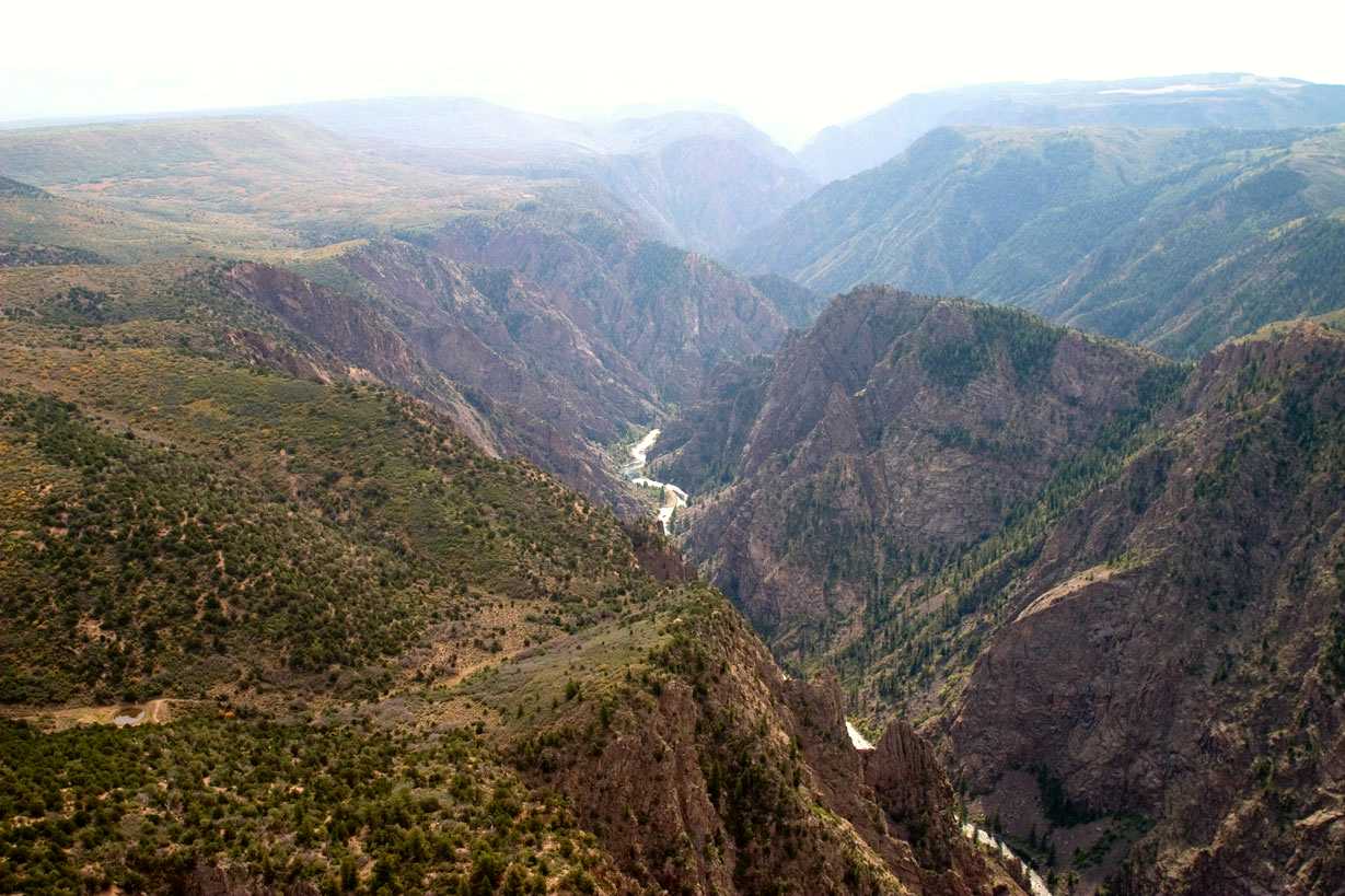
Der Black Canyon des Gunnison Nationalparks ist bekannt für seine dramatischen Klippen und tiefen Schluchten, die vom Gunnison River geformt wurden. Der Park beherbergt Colorados höchste senkrechte Klippe, die Painted Wall, die 2.250 Fuß hoch ist. Besucher kommen, um die einzigartige Geologie und die vielfältige Tierwelt zu erleben, darunter goldmantelnde Erdhörnchen und Wanderfalken.

Mehr lesen

Der Park wurde 1933 als nationales Denkmal eingerichtet und bietet verschiedene Freizeitaktivitäten. Das raue Terrain und die steilen Wanderwege können jedoch herausfordernd sein. Es ist ratsam, im Voraus zu planen und vorsichtig zu sein, insbesondere beim Wandern oder Fahren auf den engen Straßen.

In Bildern
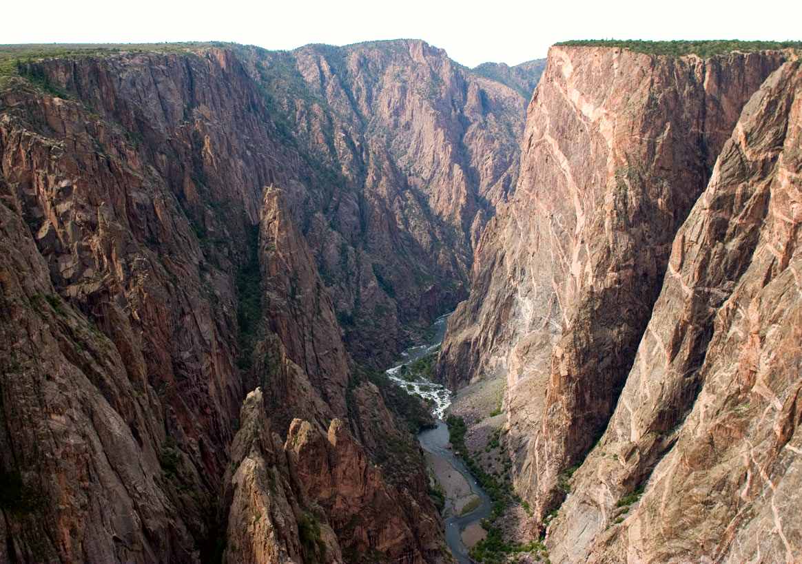
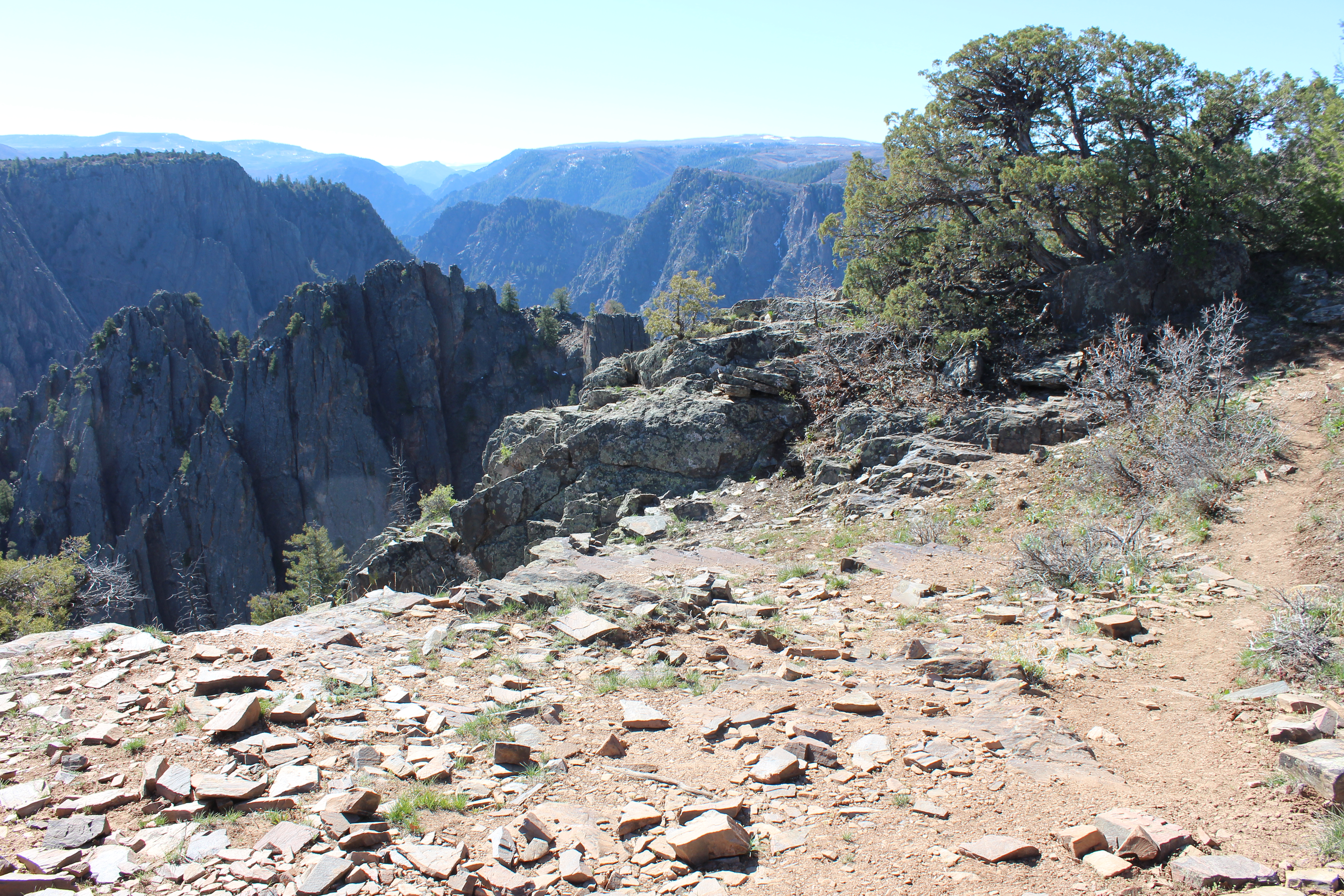
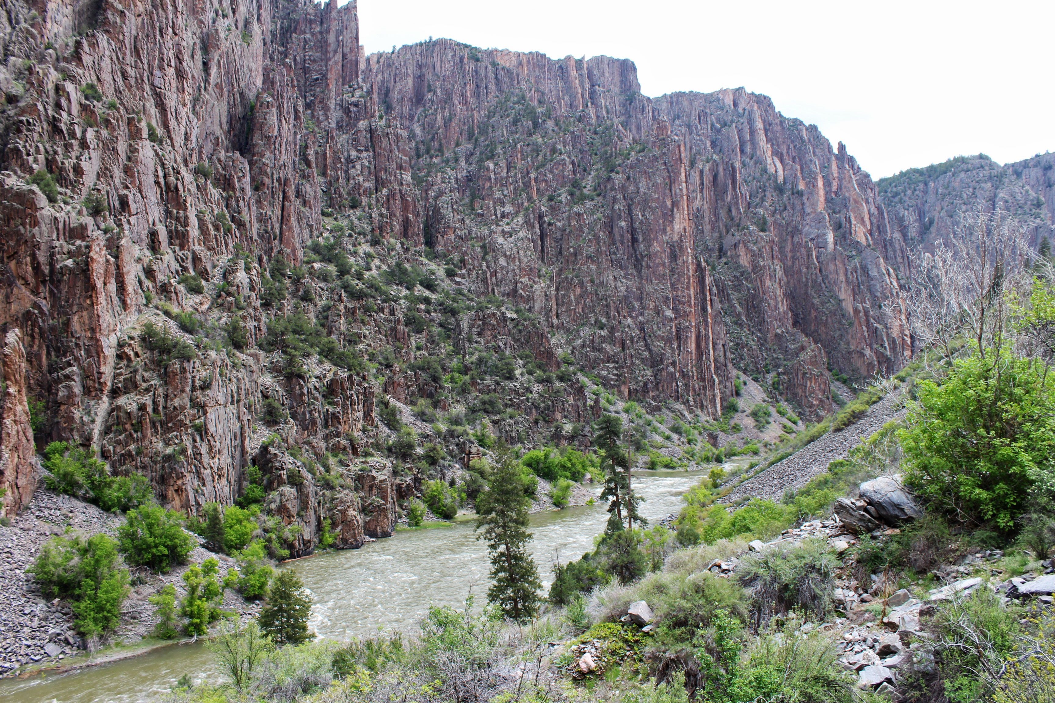
Black Canyon near Painted Wall

Aktivitäten

Tour the South Rim Drive
2-3 Hours · Spring/Summer

The South Rim Drive is a scenic paved road that follows the canyon rim for 7 miles from Tomichi Point to High...

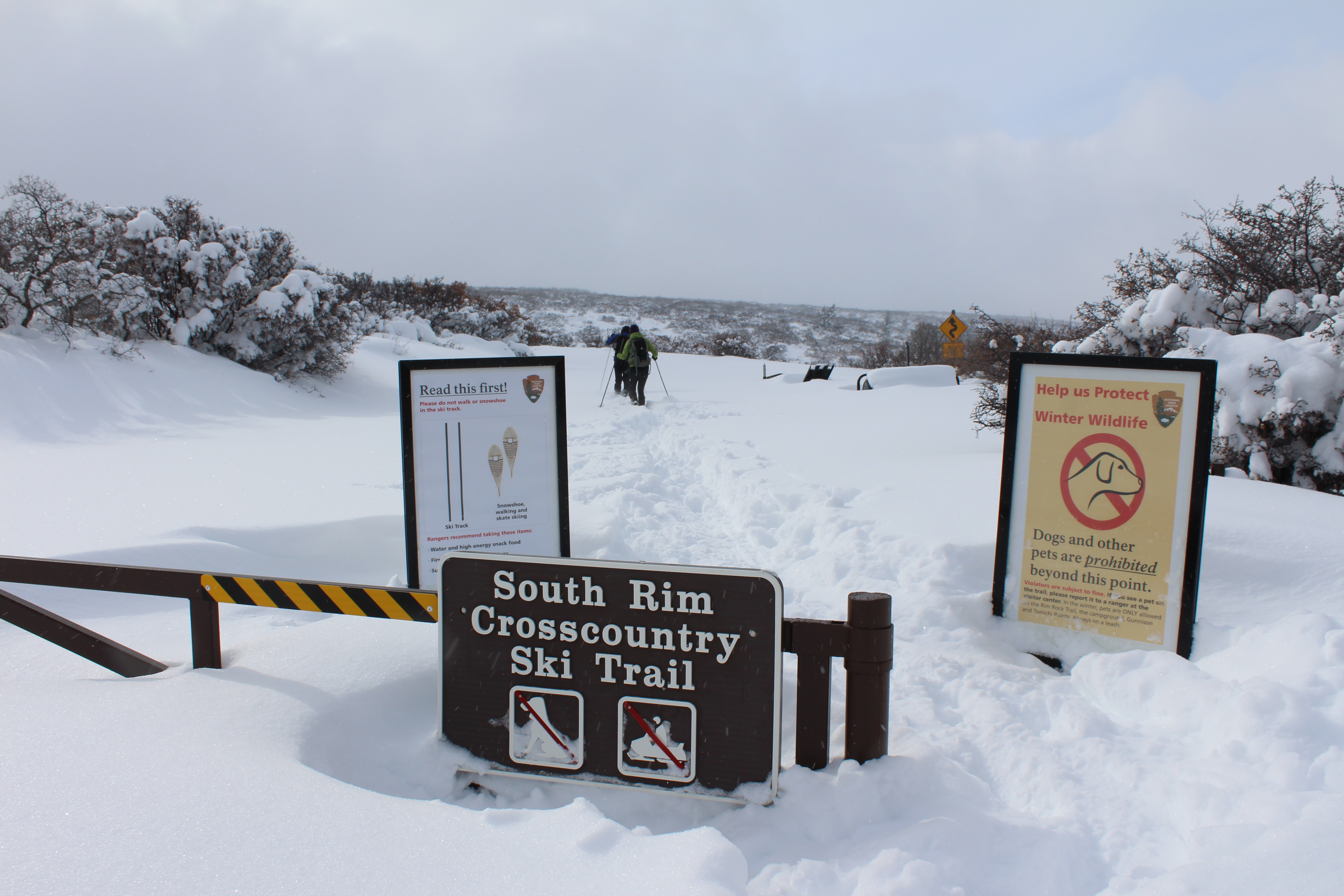
Cross-country Skiing at Black Canyon
Winter

In winter, South Rim Drive is closed to vehicles beyond the visitor center at Gunnison Point. As staffing and...

Snowshoeing at Black Canyon
Winter

Although services and access are limited during winter, the park provides recreation opportunities for winter...

Hike Rim Rock Trail - South Rim

This 1-mile (1.6 km) trail, which meanders along the canyon rim, connects the South Rim Visitor Center to the...

Hike Uplands Trail - South Rim

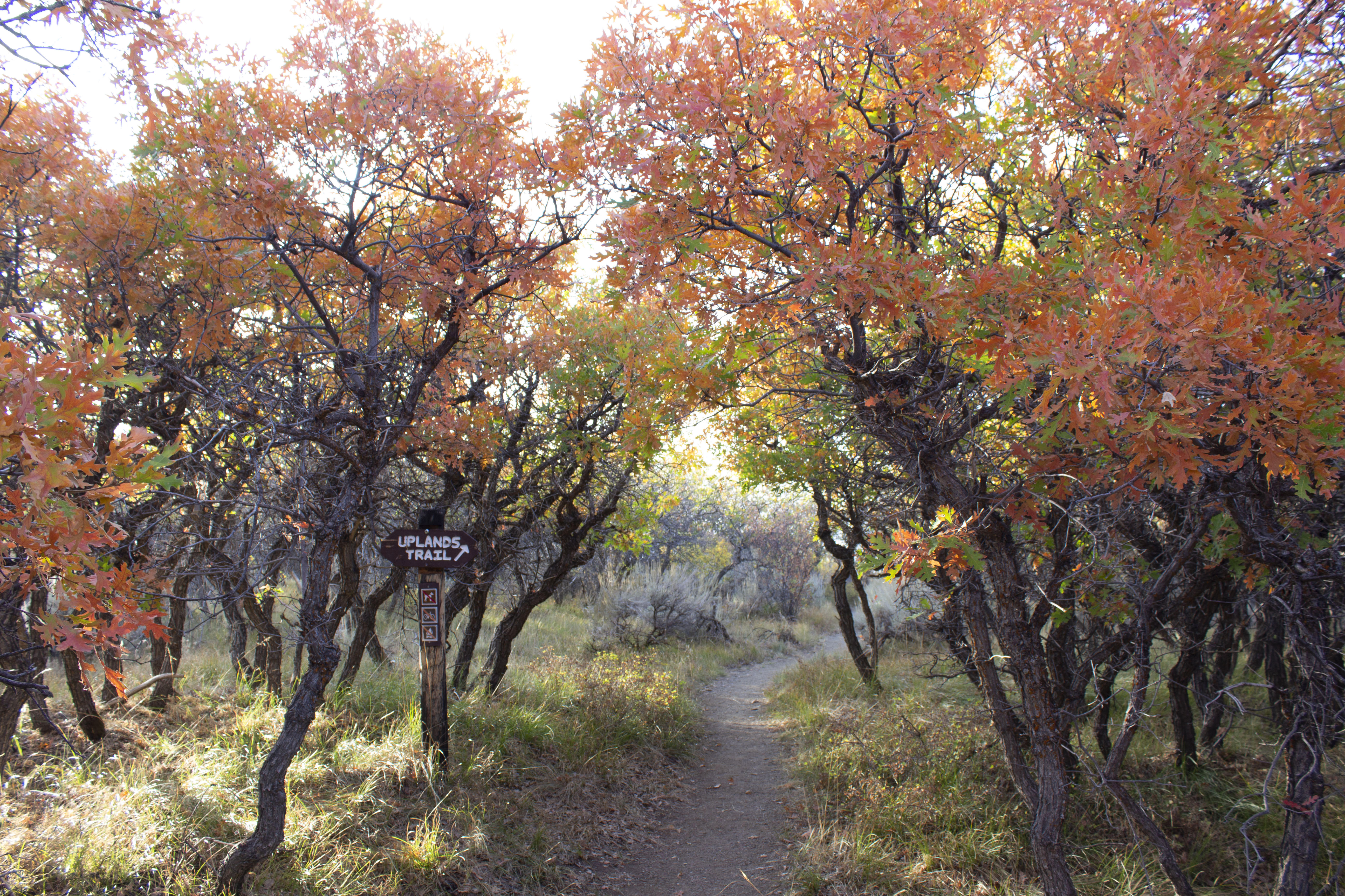
This .9-mile (1.4 km) trail links the Rim Rock Trail (near the campground) to the upper Oak Flat Loop Trail ne...

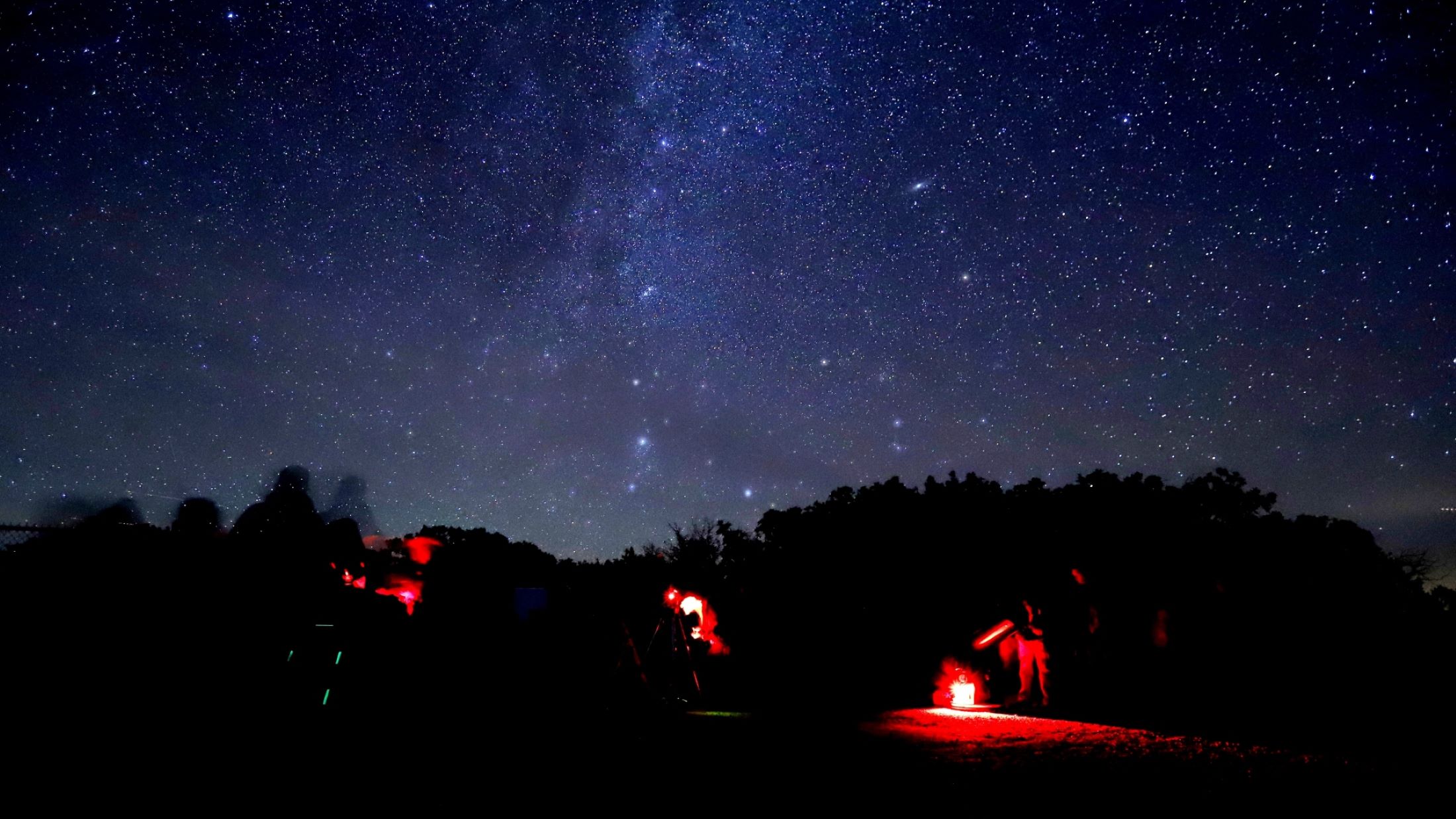
Stargazing at Black Canyon
Winter/Spring

Black Canyon has exceptional opportunities to view the night skies. Choose overlooks far from the road for opt...

Hike North Vista Trail - North Rim
Spring/Summer

Constructed by the Volunteers for Outdoor Colorado, the North Vista Trail offers some of the best scenic views...

Hike Deadhorse Trail - North Rim
Spring/Summer

Deadhorse Trail takes hikers into the Black Canyon of the Gunnison Wilderness Area. It offers good views of De...

Drive East Portal Road
1-2 Hours · Spring/Summer

East Portal Road is a windy, steep scenic road down to the Gunnison River. East Portal is within Curecanti Nat...

Tour the North Rim Road
2-3 Hours · Summer/Fall

The North Rim is reached by taking a gravel road from the east end of Crawford State Park. The North Rim Road...

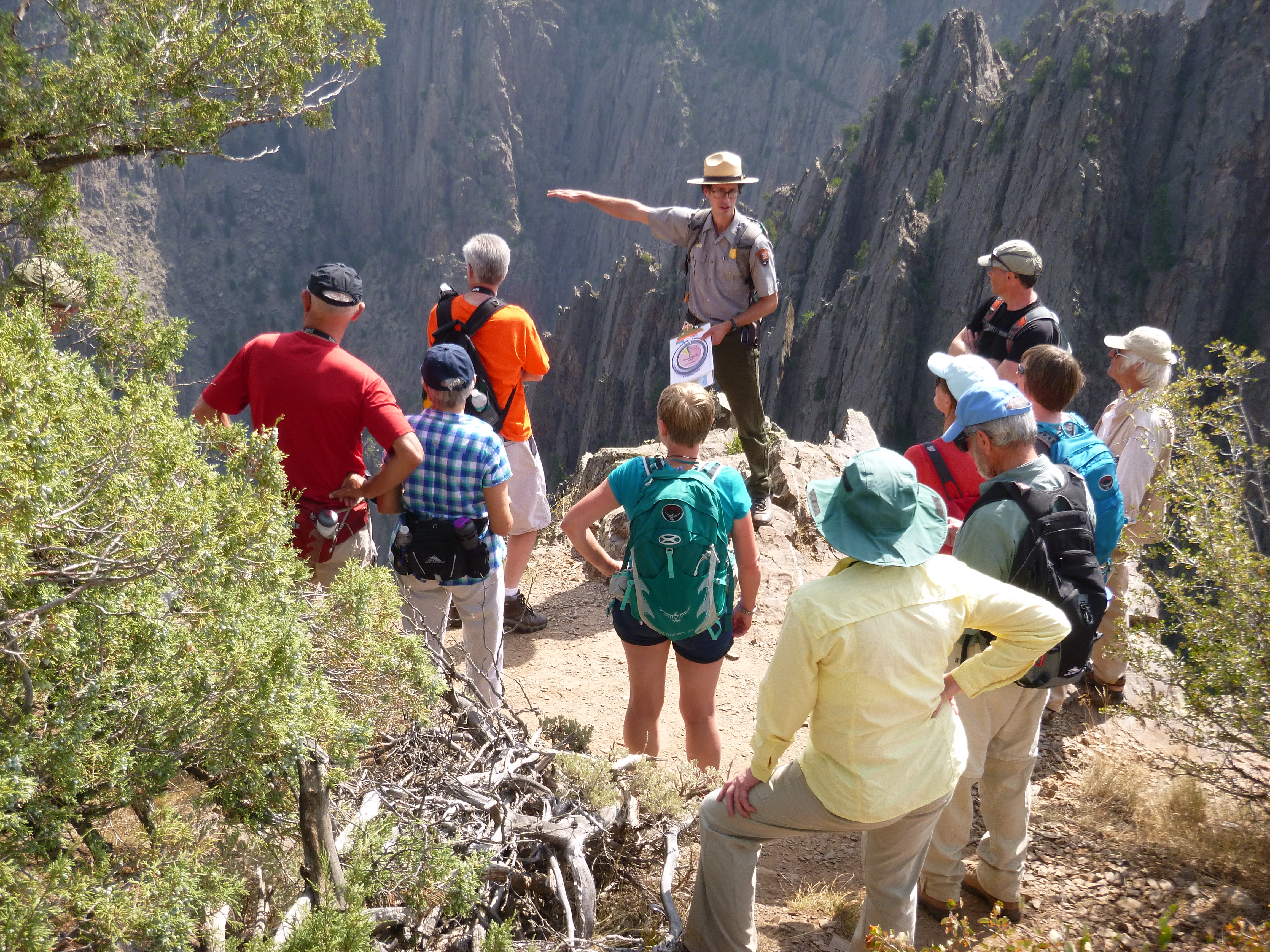
Join a Ranger Program
20-60 Minutes · Winter/Spring

Ranger program offerings vary throughout the year. Stop by the South Rim Visitor Center for current offerings...

Hike Chasm View Nature Trail - North Rim
Spring/Summer

This short loop trail breaks out of the pinyon/juniper forest at the North Chasm View to provide excellent vie...

Practical

At a glance

Eingerichtet
1933
Öffnen
Daily open 24 hours
Preis
Per Person $15, Non-commercial Groups $15, Motorcycle $25
Barrierefreiheit
steep stairs, no lift
Adresse
South Rim Visitor Center, Montrose, CO 81401
Öffnungszeiten
Daily open 24 hours
Telefon
970-641-2337
Preis
~€13
Webseite
www.nps.gov

Wissenswertes

Erwarten Sie eingeschränkte Dienstleistungen; im Park gibt es kein Essen oder Benzin.
Wasser ist von Mitte Mai bis Mitte Oktober verfügbar.
Camping erfordert eine kostenlose Genehmigung; die Plätze sind nach dem Prinzip 'wer zuerst kommt, mahlt zuerst'.
Kleiden Sie sich in Schichten; die Temperaturen können erheblich schwanken.

Foto: NPS Photo/Lynch