Ice Age National Scenic Trail
Use Caution — Tisch Mills Segment — Flooding may occur between Mill Rd. and Nuclear Rd., especially in spring or after heavy rain. A bypass is available via CTH‑B between CTH‑BB and Nuclear Rd. For maps and additional details from the Ice Age Trail Alliance, follow the link below: Details ↗
Reroute in Effect — Algoma Connecting Route Segment — A reroute is in effect on the connecting route south of Algoma. The bridge over Three Mile Creek on Longfellow Rd is closed to all travel. Bypass this closure via 9th Rd and STH‑42; note that the 10th Rd bridge is also closed. This 2.7‑mile alternate route replaces 2.8 miles of c Details ↗
Reroute in Effect — Sturgeon Bay Segment — A 0.1‑mile section of the Ice Age Trail between S Neenah Ave and W Yew St is closed indefinitely. Bypass this closure via S Neenah Ave and W Yew St. This 0.5‑mile alternate route replaces 0.5 miles of Ice Age Trail. For maps and additional details from the Ice Age Trail Alliance, Details ↗
Reroute in Effect — Monticello Segment — The Stewart Tunnel is closed indefinitely pending reconstruction. The Ice Age Trail is closed at both intersections of Tunnel Rd. Follow Tunnel Rd to bypass the closure and remain on the designated alternate route. For maps and additional details from the Ice Age Trail Alliance, Details ↗
Reroute in Effect — Hartman Creek Segment — A reroute is in effect between the Emmons Creek Fishery Area and Hartman Creek State Park due to forestry operations. Follow posted signage to remain on the designated reroute. For maps and additional details from the Ice Age Trail Alliance, follow the link below: Details ↗
Reroute in Effect — Cross Plains Segment — A reroute is in effect along the Cross Plains Segment from Sherwood Forest Ln to Park St. Eastbound hikers should continue southwest on CTH‑KP, head east on USH‑14, and turn north on Market St. The 0.8‑mile bypass replaces 0.5 miles of connecting route and Ice Age Trail. For maps Details ↗
Source: US National Park Service, refreshed several times a day.
Einführung
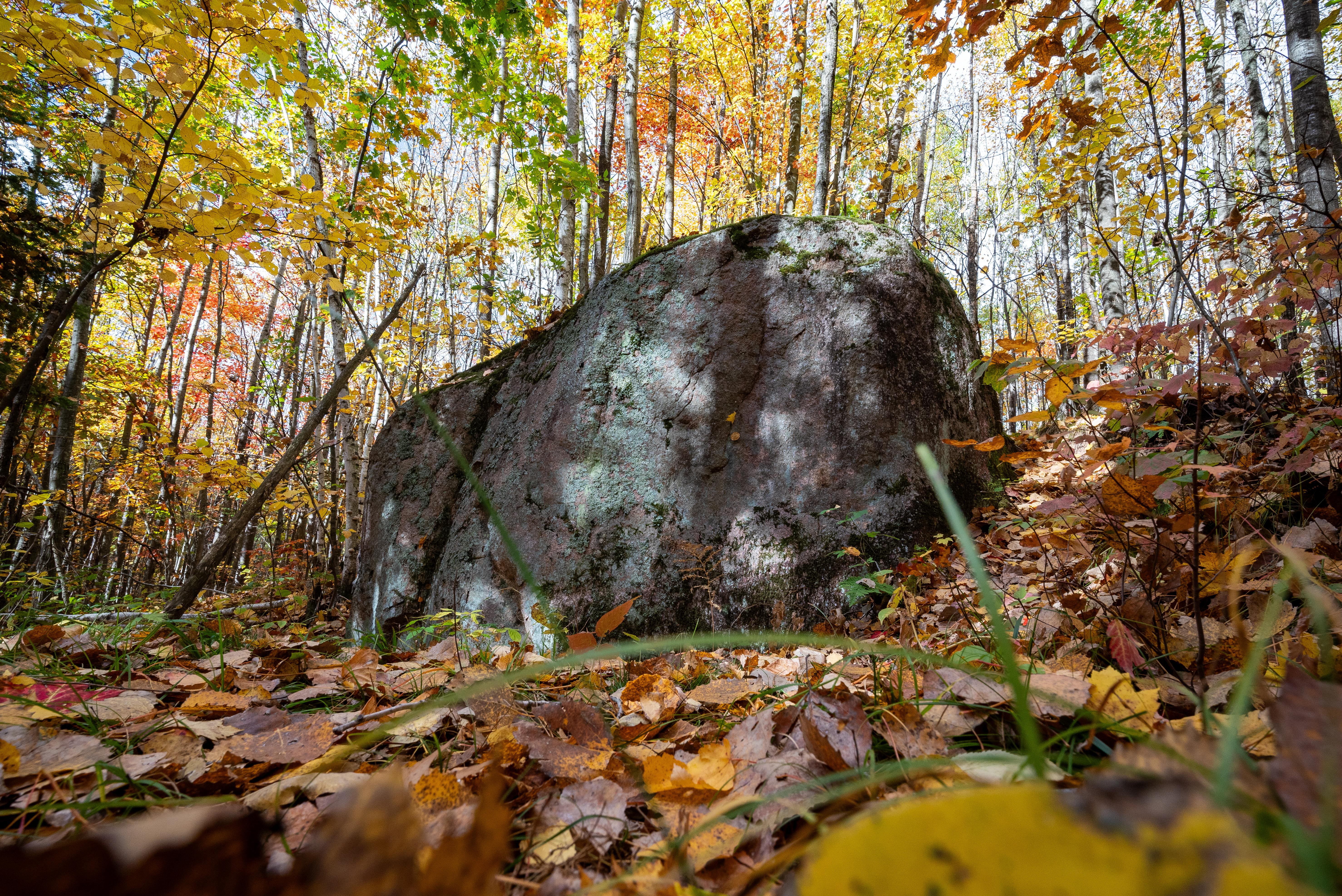
Der Ice Age National Scenic Trail ist ein Fernwanderweg, der sich über 1.200 Meilen in Wisconsin erstreckt. Er zeigt die geologischen Merkmale, die während der letzten Eiszeit durch Gletscher geformt wurden, und bietet einen einzigartigen Blick auf die Naturgeschichte der Region.
Reisende kommen, um die vielfältigen Landschaften zu erleben, von Wäldern bis zu Prärien, und um die Ruhe der Natur zu genießen. Der Weg ist bei Wanderern, Naturliebhabern und denen, die einen friedlichen Rückzugsort in der Natur suchen, sehr beliebt.
In Bildern
Wissenswertes
Gut zu wissen
Foto: NPS Photo / Billy Flynn