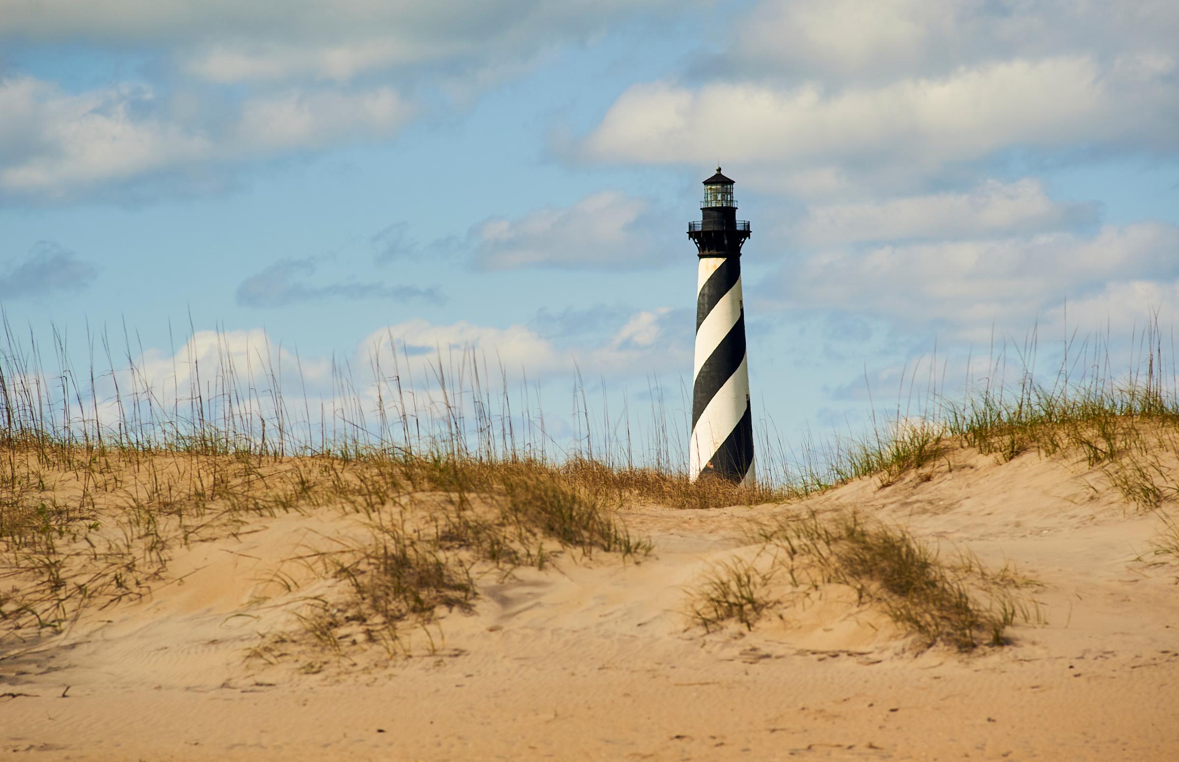
Cape Hatteras National Seashore
Project Safety Closure in Place Near Southernmost Groin in Buxton — Public access is closed for 300 feet north and south of a groin repair project site in Buxton, as well as the adjacent ocean area to the east. Surfers, swimmers, and all other recreationists should stay at least 300 feet from the southernmost groin area for safety purposes. Details ↗
Partial Beach Closures in Place in Front of Buxton Village — The beachfront in front of Buxton Village is temporarily closed due to the presence of threatened oceanfront structures and Dare County's beach nourishment project. Renourished sections of beach will open to the public immediately after construction activities conclude in the are Details ↗
Upcoming Closure of Billy Mitchell Airport for Repaving Project — Beginning August 17, Cape Hatteras National Seashore will close the Billy Mitchell Airport (HSE) to accommodate a runway pavement rehabilitation project. The project will provide full resurfacing of paved areas, new reflective paint, and new tie-downs and anchors, improving visit
Source: US National Park Service, refreshed several times a day.
Einführung
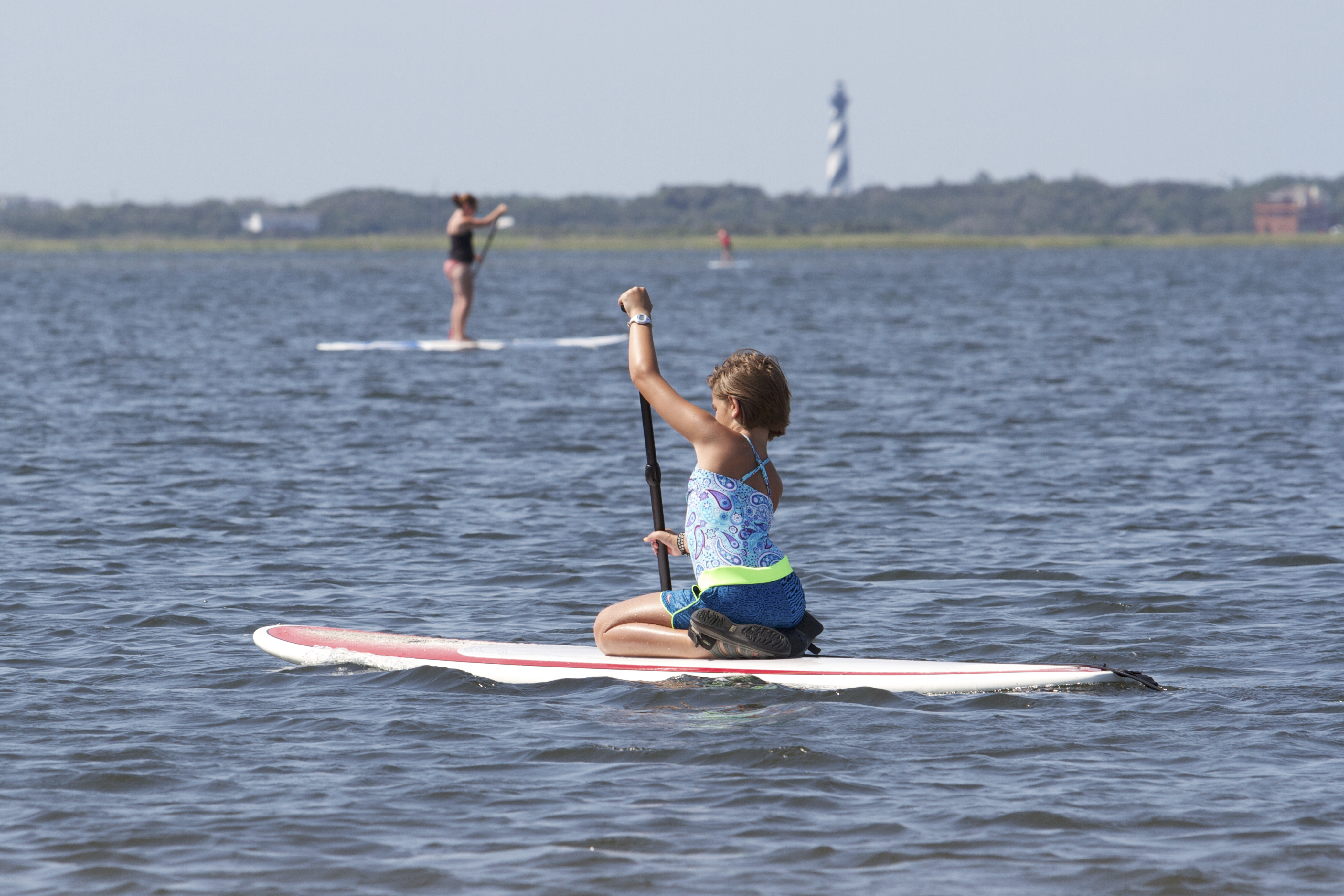
Der Cape Hatteras National Seashore ist ein geschütztes Gebiet entlang der Outer Banks von North Carolina, bekannt für seine einzigartigen Küstenökosysteme und historischen Leuchttürme. Besucher kommen, um die natürliche Schönheit zu genießen, Wassersport zu betreiben und mehr über die maritime Geschichte der Region zu erfahren.
Der Seashore ist auch ein Ort der Reflexion, da er an die im Schiffbruch verlorenen Leben entlang der tückischen Gewässer des Graveyard of the Atlantic erinnert. Der ikonische Cape Hatteras Lighthouse, der 210 Fuß hoch ist, ist ein bedeutendes Wahrzeichen, das viele anzieht, die seine 257 Stufen erklimmen, um einen Blick auf die Küste zu werfen.
In Bildern
Wissenswertes
Gut zu wissen
Foto: NPS Photo