Gulf Islands National Seashore
Die Battery 234 Loop Road und Battery Cooper im GUIS, Fort Pickens Management Area sind bis auf Weiteres aus Sicherheitsgründen für Fahrzeuge, Radfahrer und Fußgänger gesperrt, bis der Park die geneigte und strukturell instabile Historie korrigieren kann. Details
Überprüfe den Rip Current Status vor dem Besuch des Parks. Details
Phase II des Fahrrad- und Fußgängerwegs in Davis Bayou ist im Gange. Besucher können auf der Eagle Point und Park Road mit geringfügigen Verkehrsverzögerungen und Verkehrsposten rechnen. Details
Fort Barrancas ist von Mittwoch bis Sonntag von 9 bis 16 Uhr geöffnet. Um Fort Barrancas zu betreten, müssen die Besucher durch das Westtor der Naval Air Station Pensacola eintreten. Details
Hunde und Haustiere sind an keinem der Strände im Gulf Islands National Seashore erlaubt. Besuche die Seite mit den Haustierregeln für Informationen. Details
Straight from the US National Park Service, refreshed several times a day.
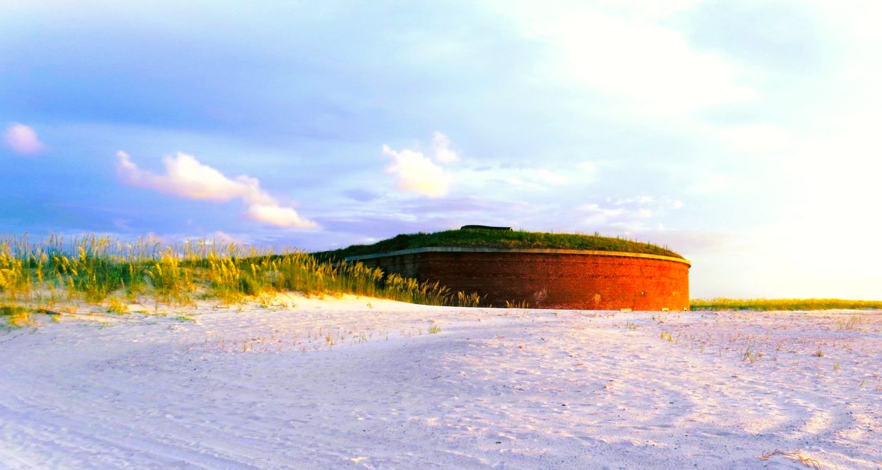
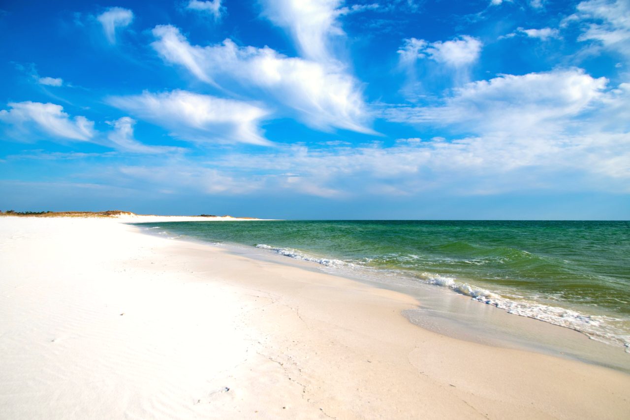
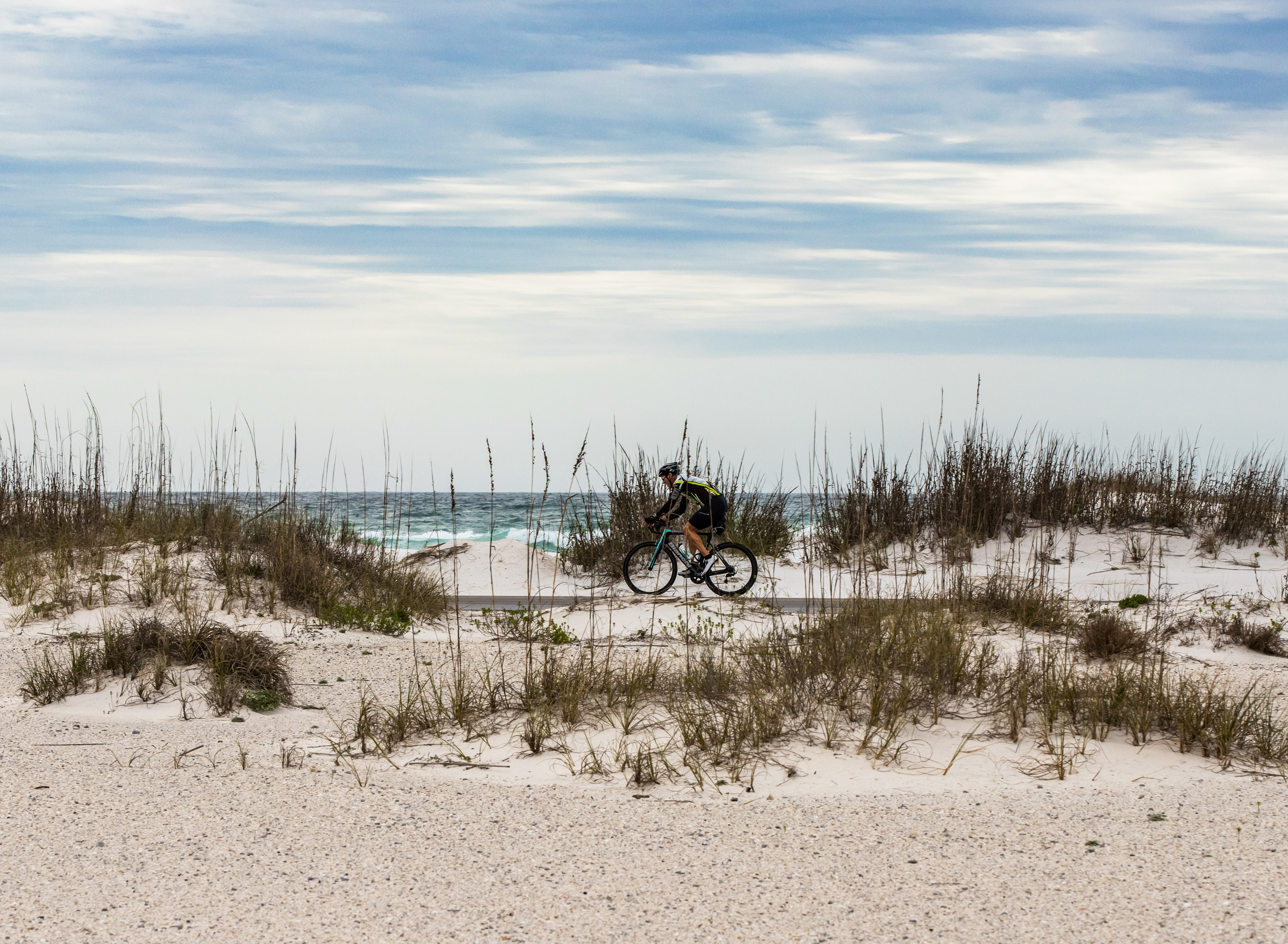
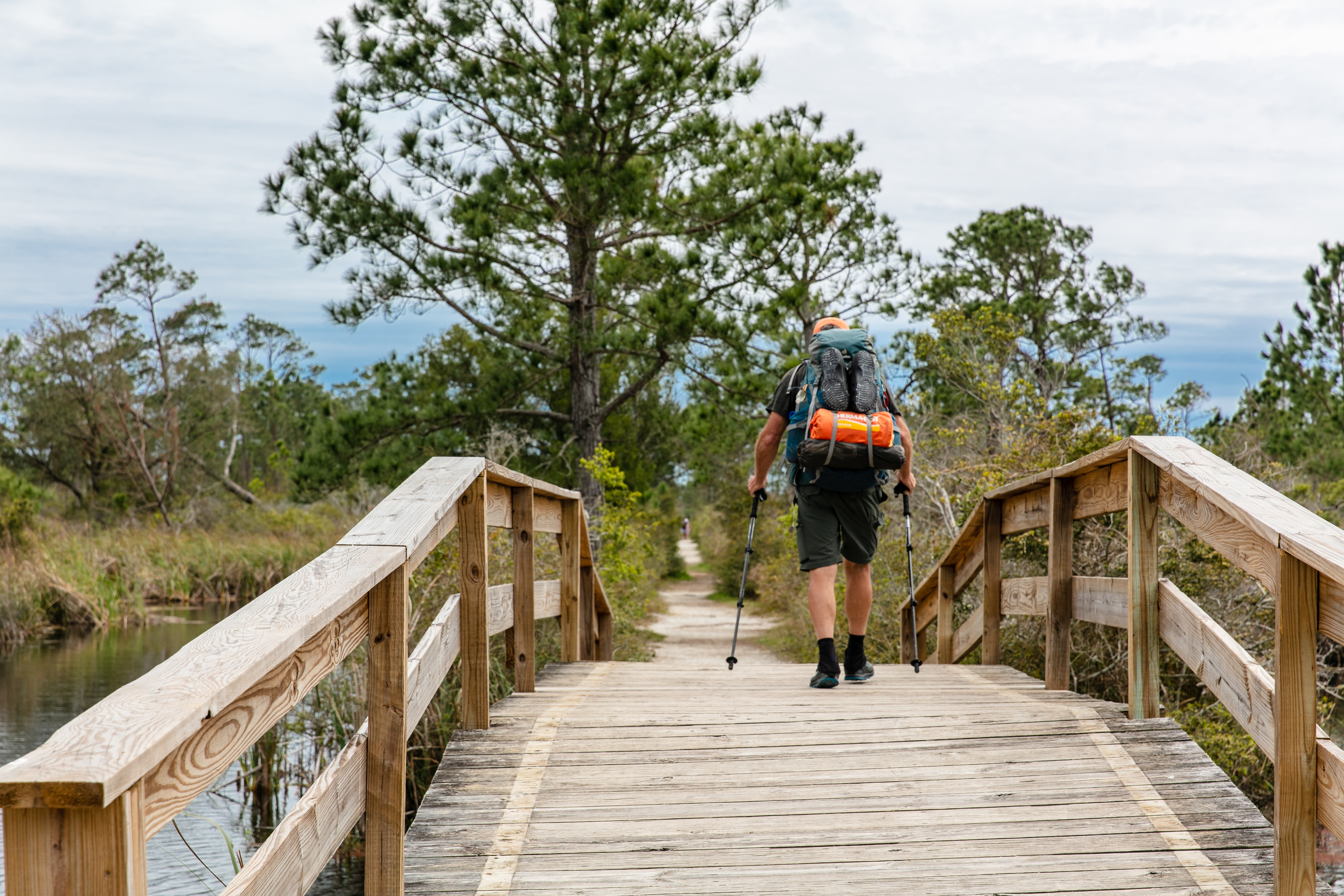
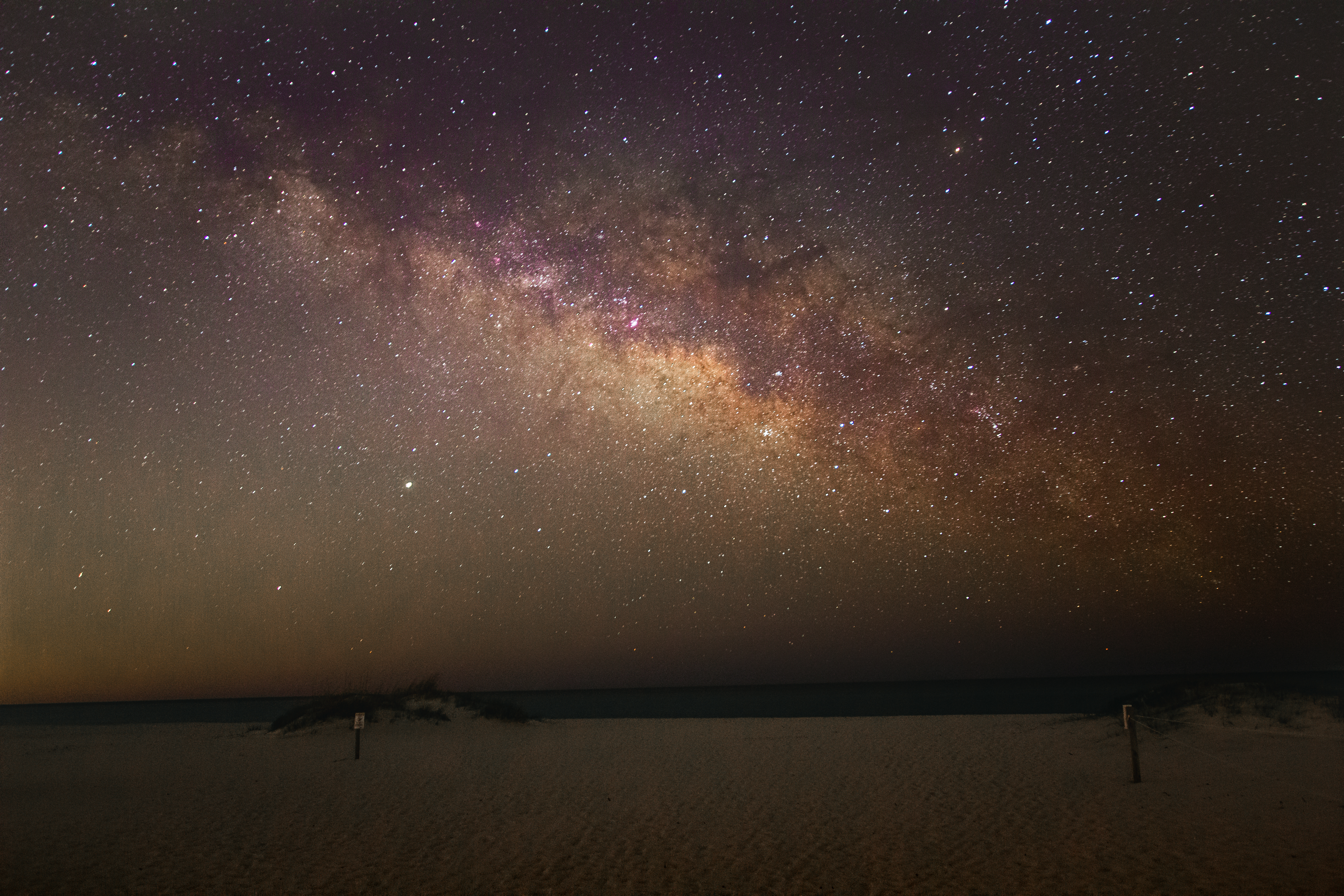
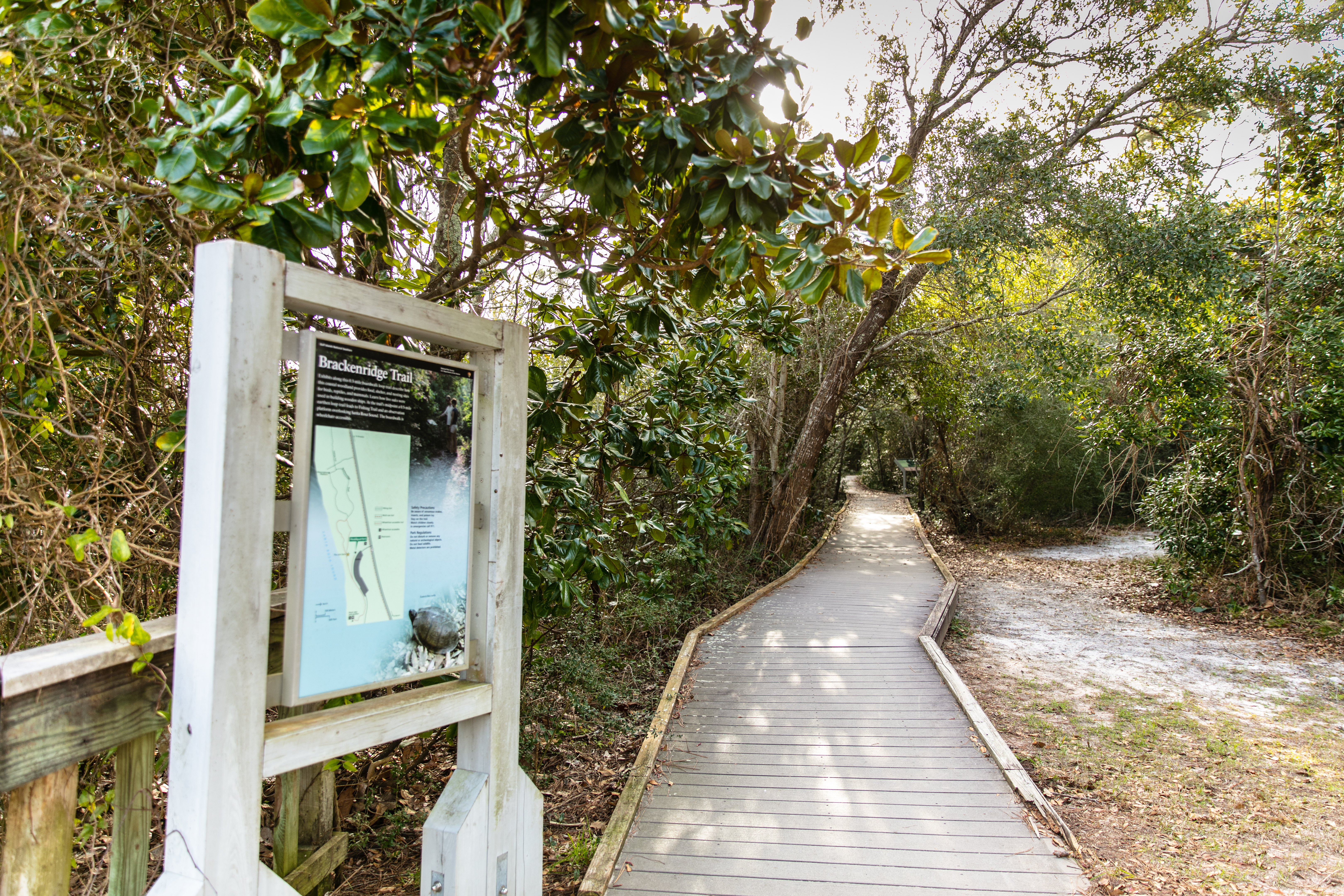
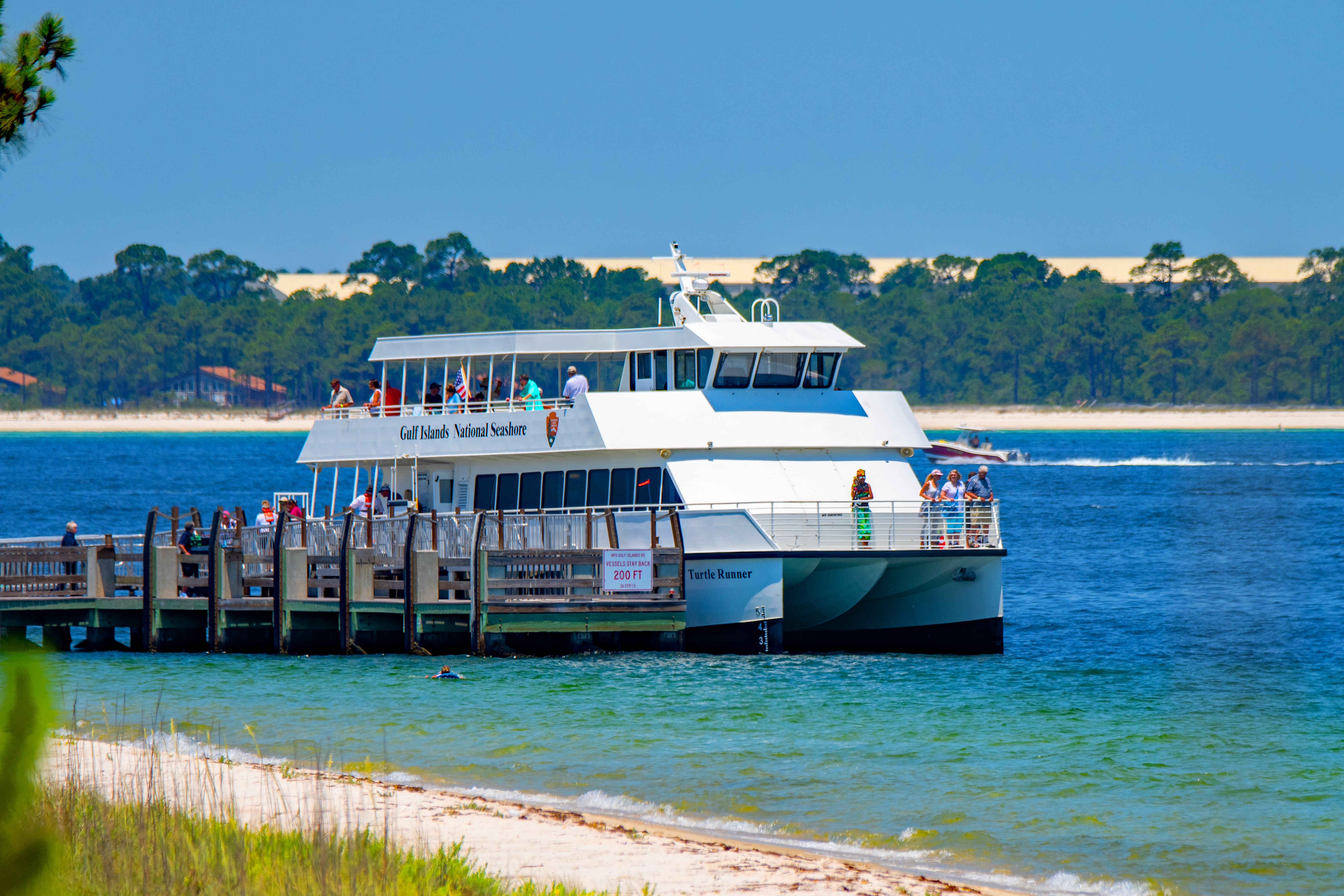
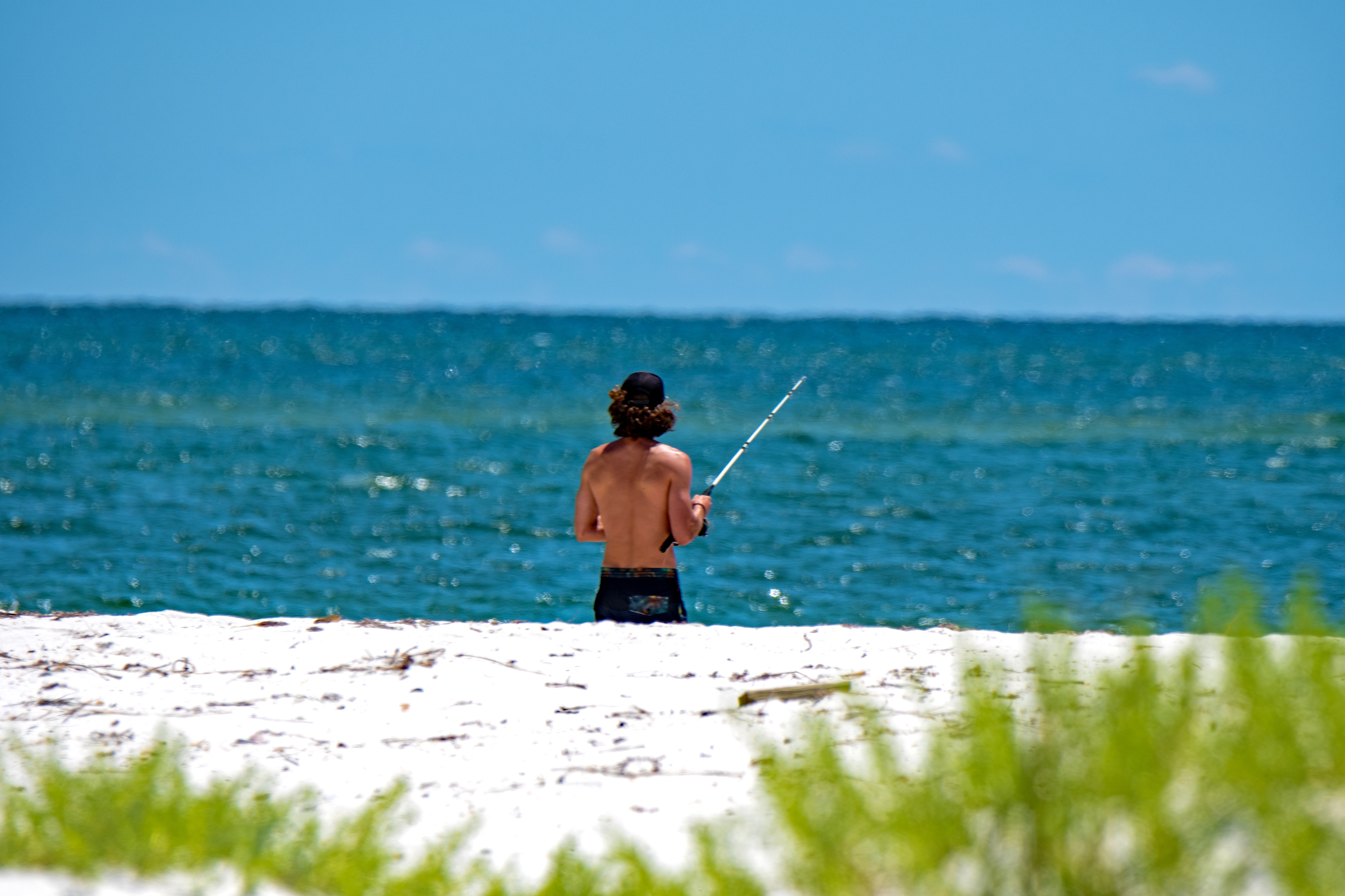
Der Gulf Islands National Seashore ist ein geschütztes Gebiet entlang der Golfküste, das Teile von Florida und Mississippi umfasst. Es bietet Barrier Islands, die für ihre historische Bedeutung, Freizeitaktivitäten und wunderschönen weißen Sandstrände bekannt sind. Besucher erkunden oft Orte wie Fort Pickens, das eine Rolle im Bürgerkrieg und im Zweiten Weltkrieg spielte, und genießen Wanderwege, die die natürliche Schönheit der Region zeigen.
Mehr lesen
Der Park ist auch ein Ort zum Campen und für Aktivitäten im Freien, aber viele Bereiche können aufgrund von Sturmschäden geschlossen sein. Es ist ratsam, vor Ihrem Besuch nach aktuellen Informationen zu suchen, da sich die Bedingungen häufig ändern können.
In Bildern
Aktivitäten
Practical
At a glance
- Eingerichtet
- 1971
- Öffnen
- Daily 8:00AM - 6:00PM
- Preis
- Private Vehicle $25, Per Person $15, Motorcycle $20
- Barrierefreiheit
- wheelchair accessible
- Öffnungszeiten
- Daily 8:00AM - 6:00PM
- Telefon
- 850-934-2600
- Preis
- ~€13
- Webseite
- www.nps.gov
Wissenswertes
Foto: NPS/Bernstiel