search
search
add Neue Reise
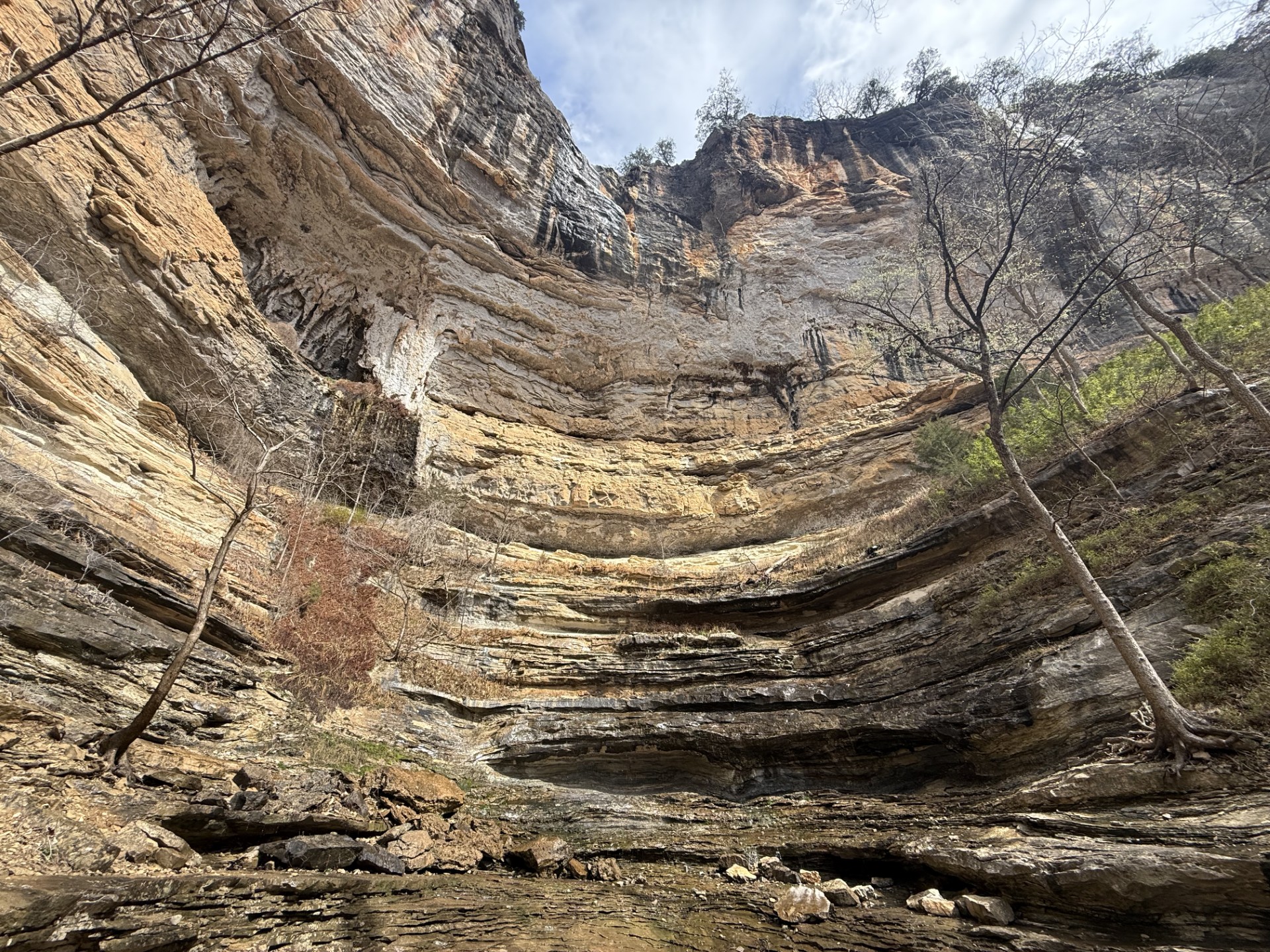
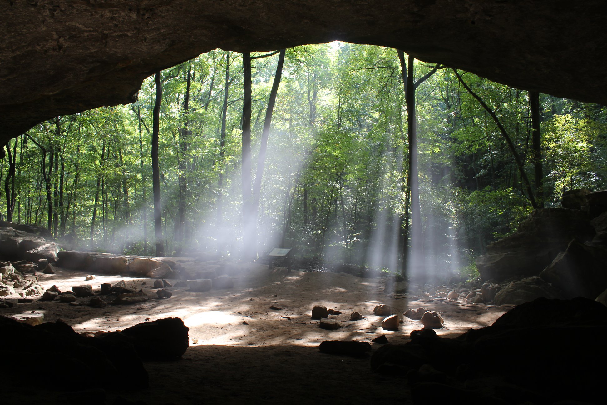
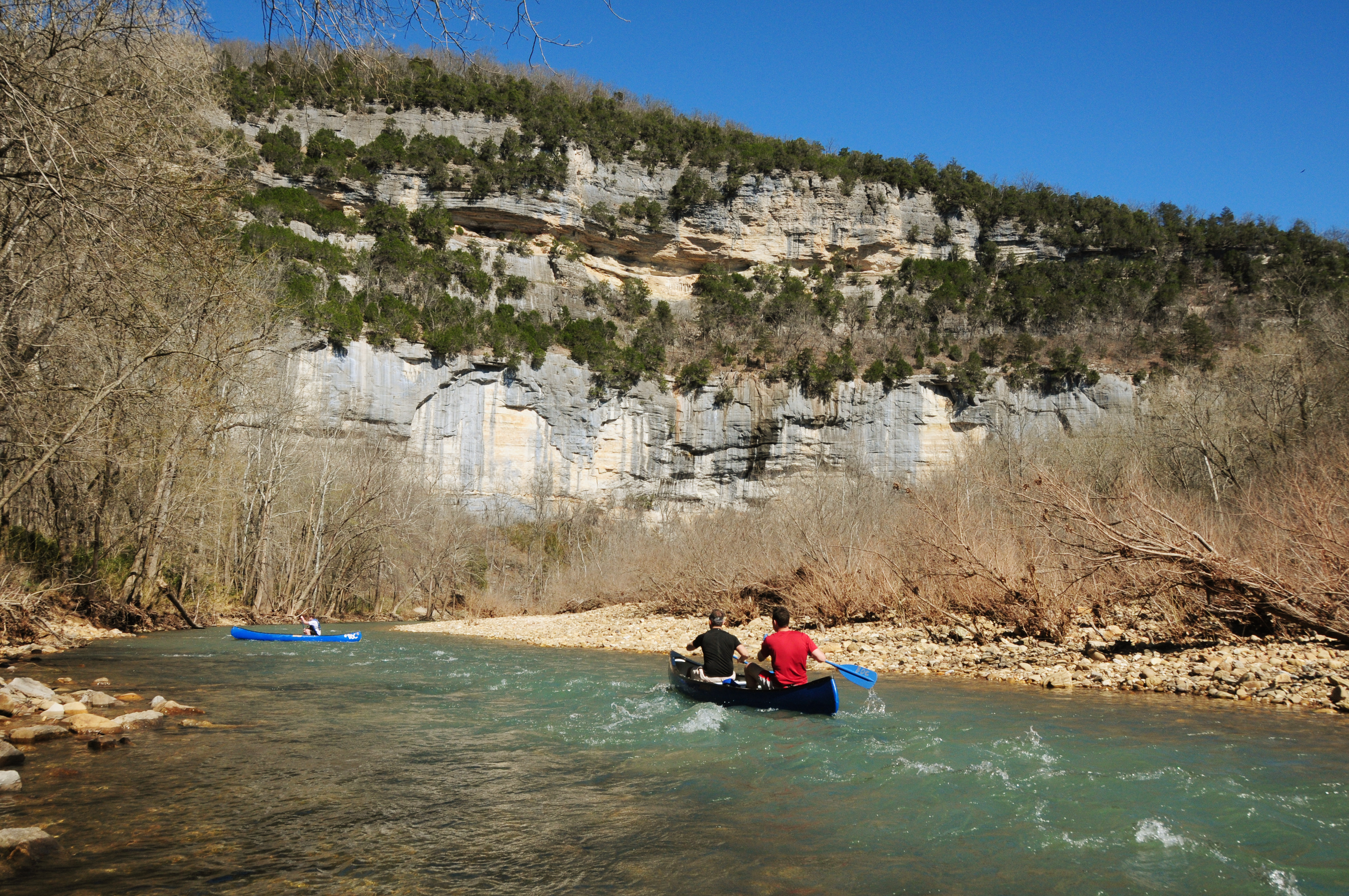
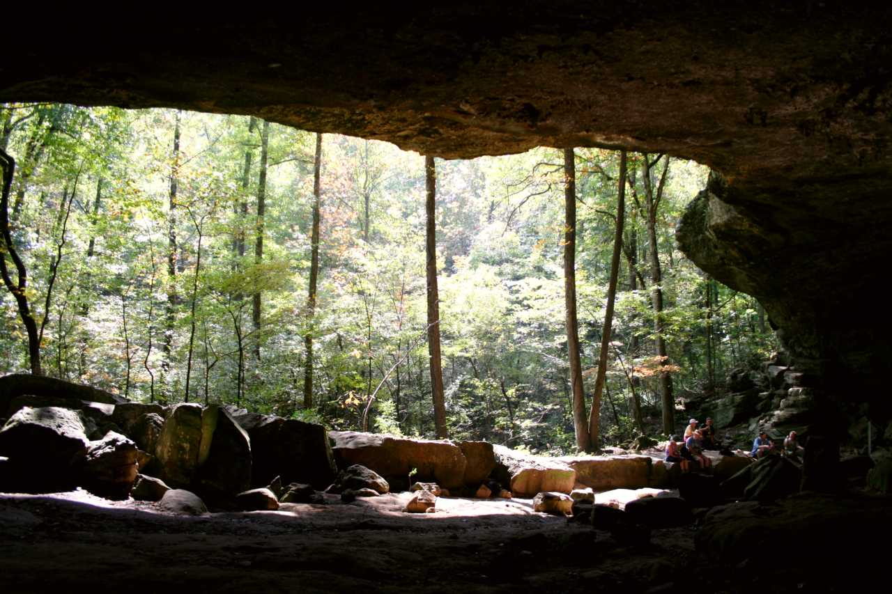
A large bluff shelter near Buffalo Point.

Buffalo National River

NPS Photo · Gemeinfrei
warningPark Closure4 warnings calendar_monthMär–Mai, Sep–Oktbeste Zeit schedule3 Tageplanen für child_careJamit Kindern confirmation_numberKostenlosentry
Buffalo National RiverDeine eigene Route Hier eine Reise planen →
Park Closure South Woolum Road Closed, Alternate Route Available

In the interest of safety, the South Woolum Road has been closed. The Woolum launch and campground remain open. Details open_in_new

Information Campground Amenities Unavailable November 16, 2026 through March 14, 2027

All campground amenities (water, electricity, flush restrooms & dump station) at Steel Creek, Kyles Landing, Erbie, Ozark, Tyler Bend, Buffalo Point & Rush will be turned off starting November 16. Camping fees will not be charged over the winter. The flush restrooms at Tyler Bend

Information Reservations Only at Buffalo Point - Starting March 15, 2027

Starting March 15, 2027, reservations will be required for all campsites at Buffalo Point Campground, including A & E Loops. Reservations must be made through Recreation.gov (www.recreation.gov) or by calling 877-444-6777. Reservations can be made the same day or up to six months

Information Buffalo Point Ranger Station - Winter Hours

Starting Monday, November 16, the Buffalo Point Ranger Station will be closed Mondays through Fridays over the winter. The station will be open on Saturdays and Sundays, 8:30 am - 4:00 pm. On Monday, March 15, 2027, the station will open back up on some weekdays. To contact the p

Direkt vom US National Park Service, mehrmals täglich aktualisiert.

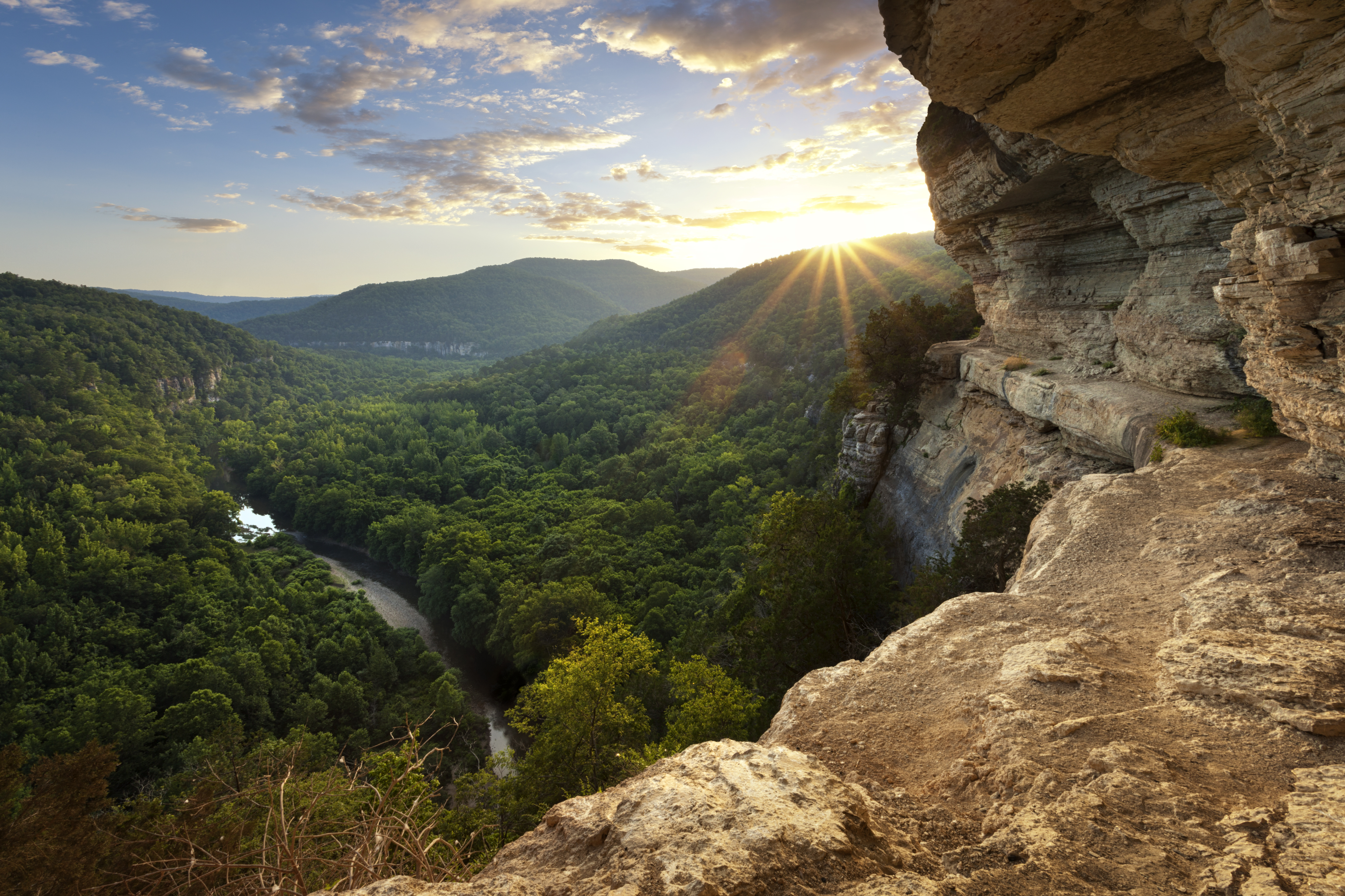
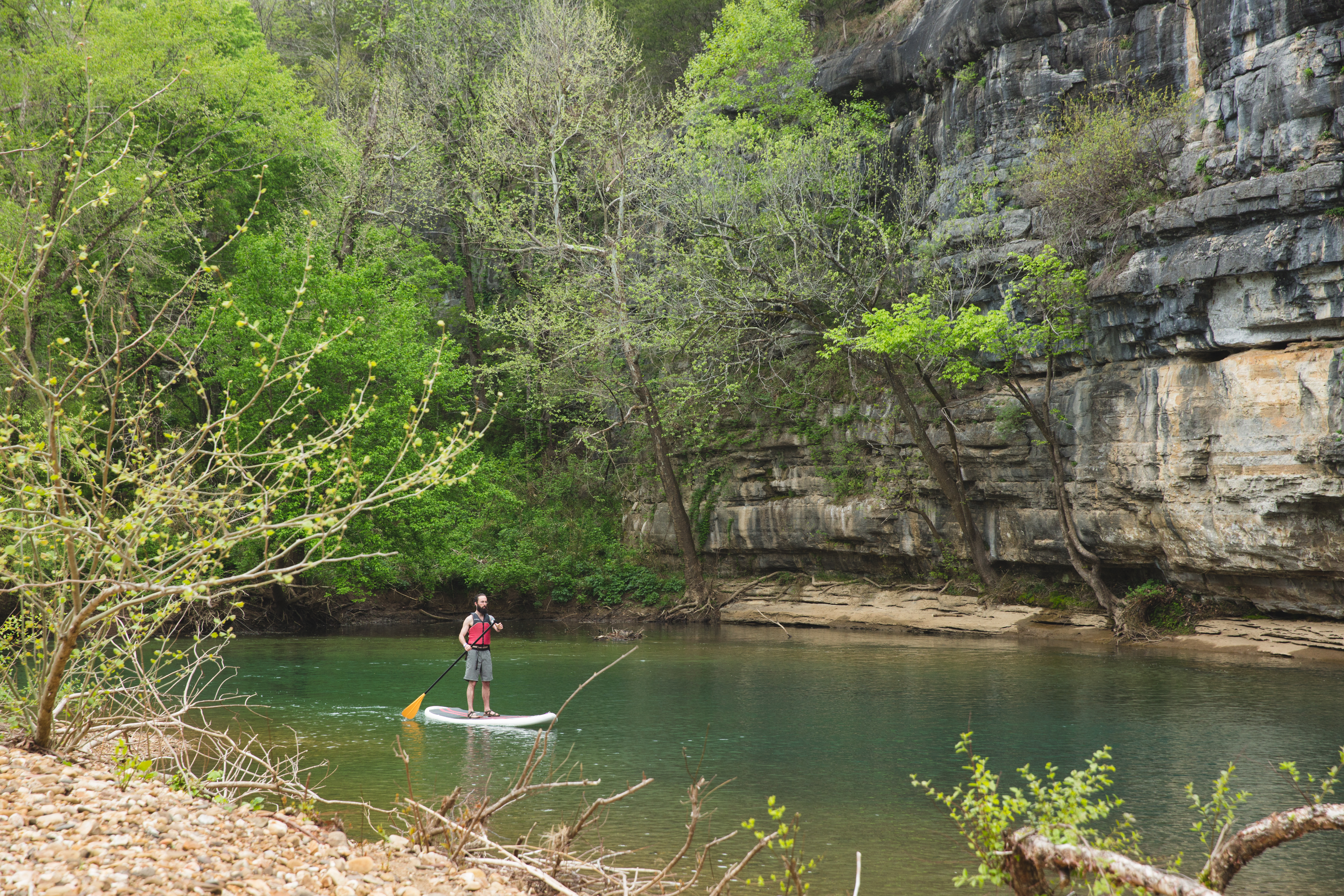
Der Buffalo National River ist ein geschütztes Gebiet in Arkansas, bekannt für sein klares Wasser und seine malerischen Landschaften. Er erstreckt sich über 135 Meilen und bietet Möglichkeiten zum Kanufahren, Wandern und zur Tierbeobachtung. Viele Reisende kommen, um die natürliche Schönheit und die Ruhe des Flusses zu genießen, der frei durch die Ozark Mountains fließt.

Mehr lesen

Der Fluss weist Kalksteinfelsen und ausgewiesene Wildnisgebiete auf, was ihn zu einem beliebten Ort für Outdoor-Enthusiasten macht. Besucher können Wanderwege wie den Buffalo River Trail erkunden, der das raue Terrain und die Aussichtspunkte der Region zeigt. Seien Sie jedoch auf unterschiedliche Wegbedingungen und Wetteränderungen vorbereitet.

In Bildern
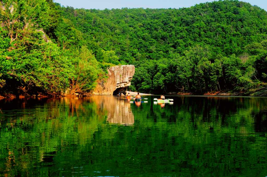
Kayakers floating towards Skull Rock near Buffalo Point. NPS Photo/Ryan Stokes · Gemeinfrei
Kayakers floating towards Skull Rock near Buffalo Point.

Aktivitäten

Hike to Hemmed-in Hollow
4-6 Hours · Winter/Spring

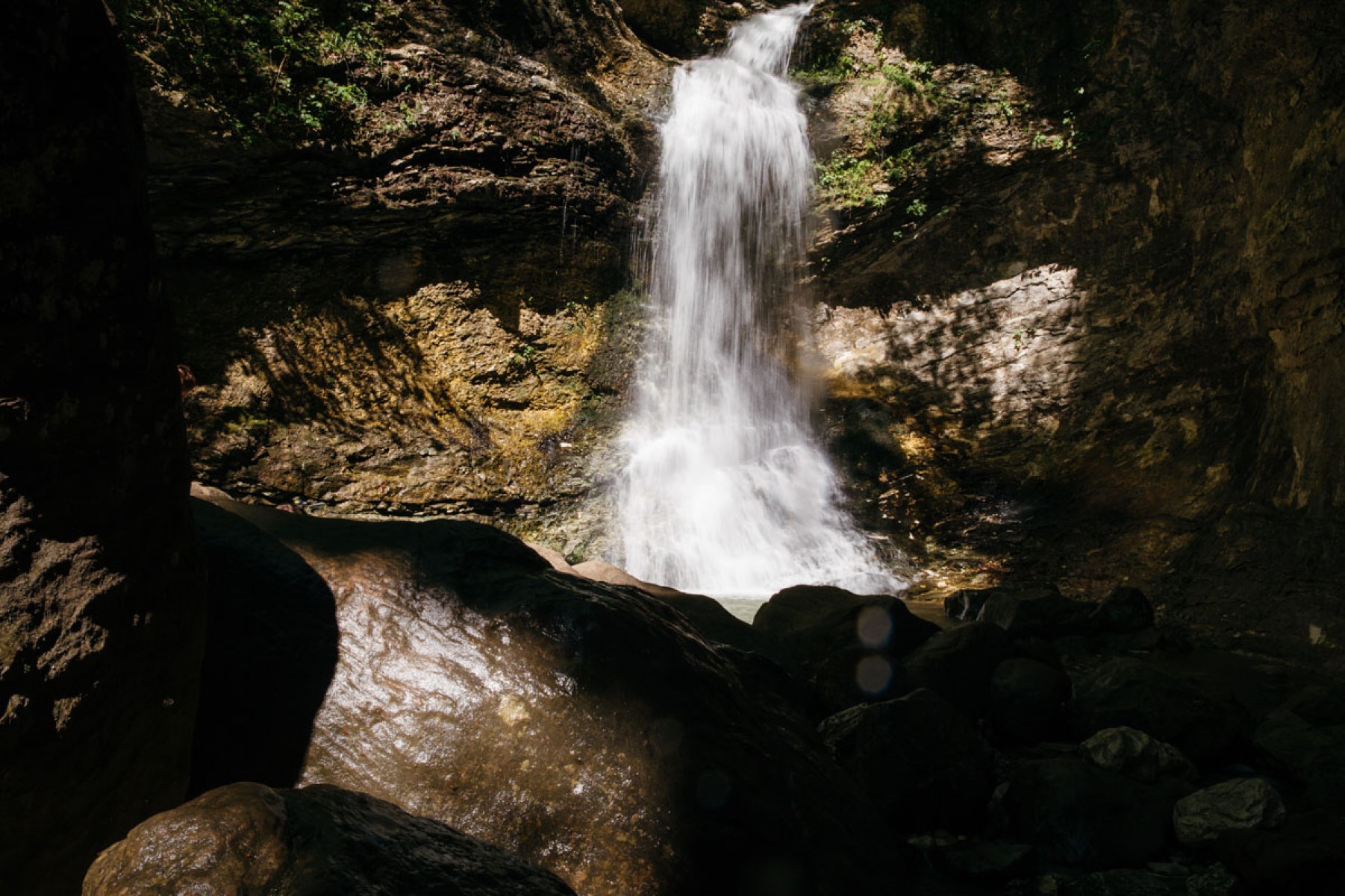
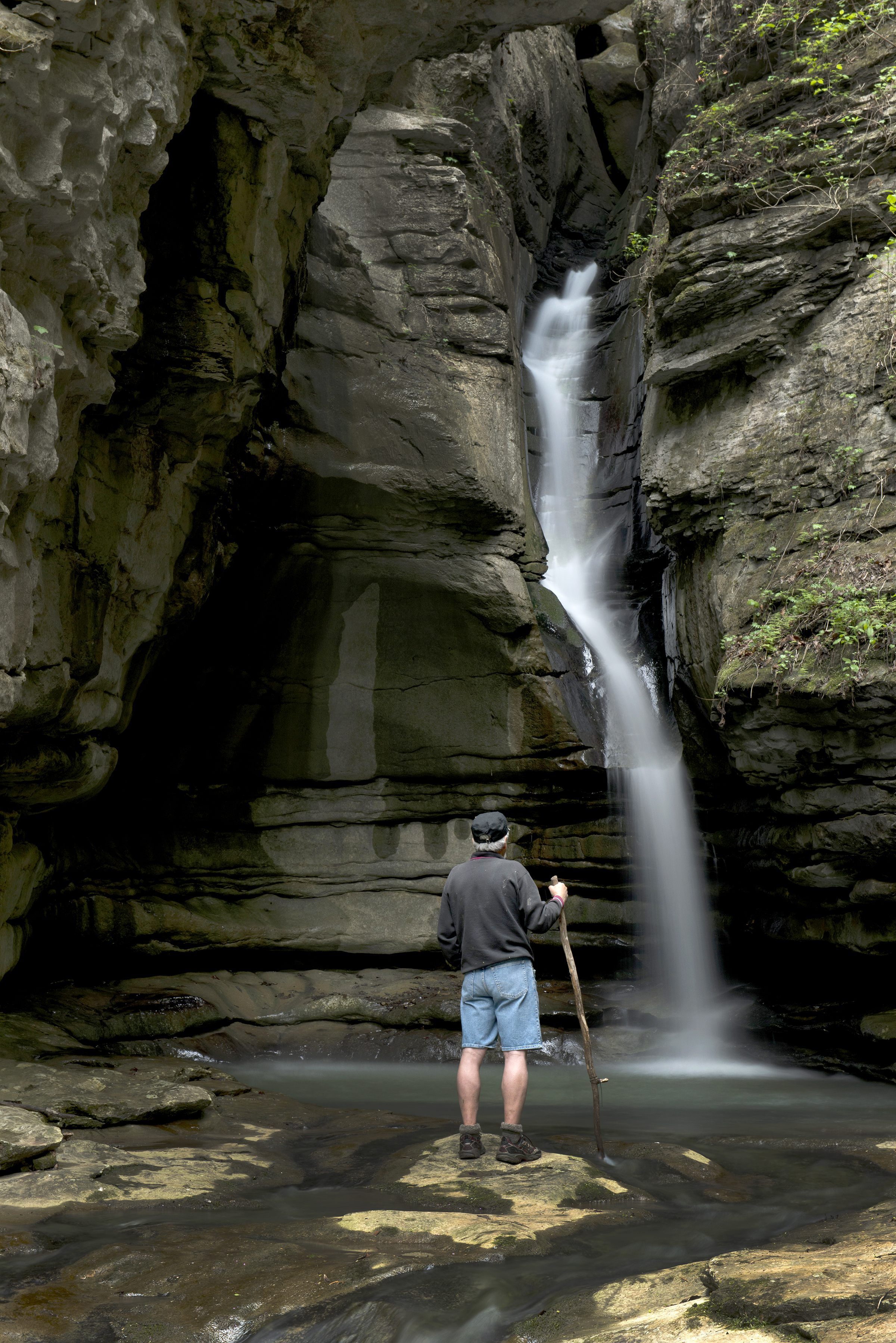
The picturesque Hemmed-in Hollow Falls cascades nearly 210 feet over rugged Ozark bluffs, making it the highes...

Paddling Gilbert to South Maumee
6 Hours · Winter/Spring

This reach is about 12 miles which makes it one of the less crowded sections of the river.

Hike the Lost Valley Trail
1-3 Hours · Winter/Spring

The Lost Valley Trail is an easy to moderate hike through a box canyon sculpted by Clark Creek. At 2.4 miles r...

Hike to Hideout Hollow
1-3 Hours · Winter/Spring

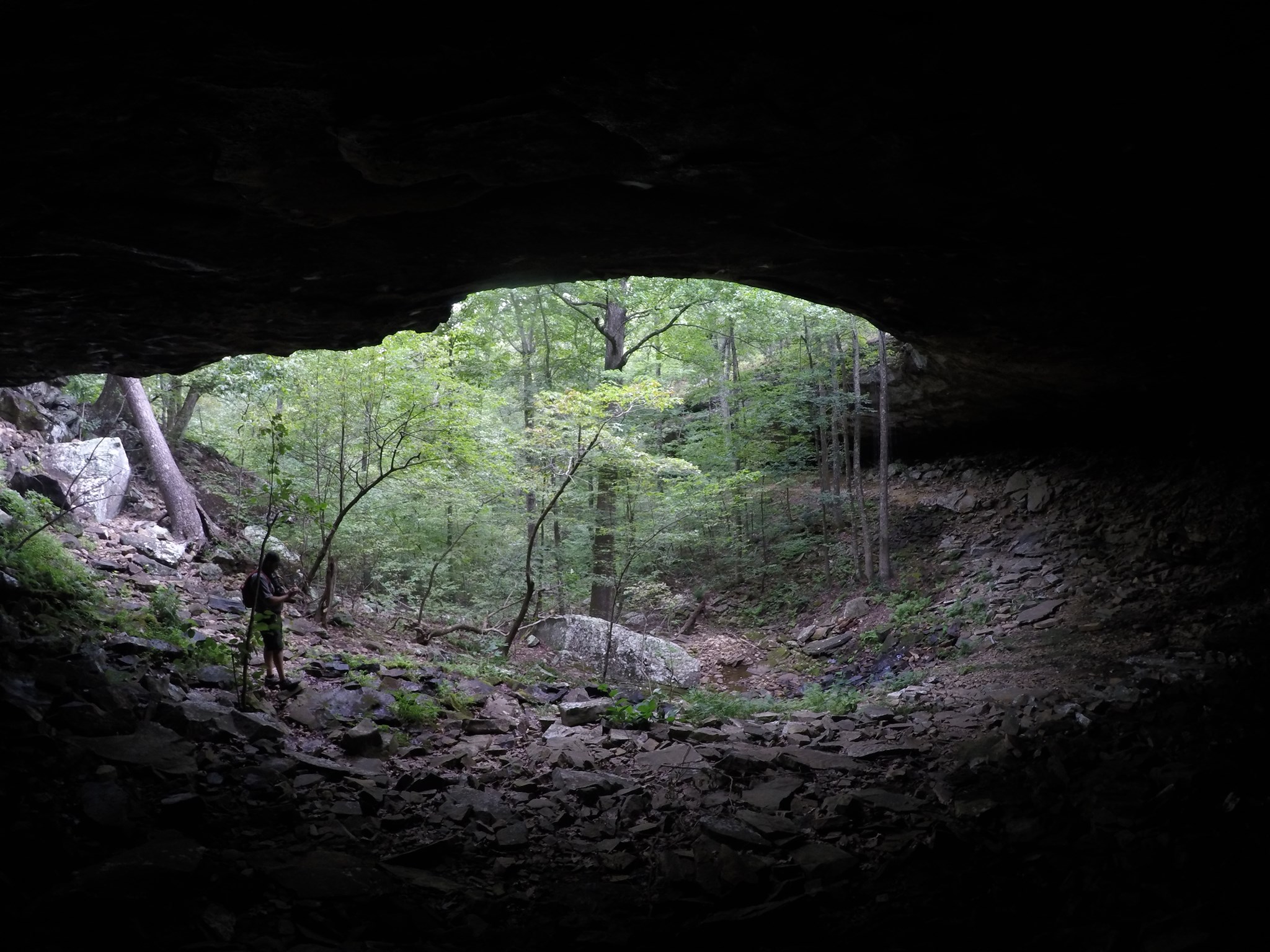
The Hideout Hollow Trail leads to a rock shelter that was once inhabited by a group of World War I draft dodge...

Hike to Big Bluff
4-6 Hours · Winter/Spring

The Centerpoint Trail is a strenuous hike that traverses the Ponca Wilderness, winding down an old wagon road...

Hike the Buffalo Point Campground Trails
1-4 Hours · Winter/Spring

The Buffalo Point Campground Trails give campers, day hikers, and leashed dogs a chance to stretch their legs...

Hike the Rush Mine Level Trail and Morning Star Interpretive Loop
1-4 Hours · Winter/Spring

This .25 mile to 1.5 mile trail offers beautiful views of Rush Valley and gives hikers an understanding of the...

Hike the Indian Rockhouse Trail
3-5 Hours · Winter/Spring

A hike on the Indian Rockhouse reveals geologic formations commonly found on a limestone landscape and gives h...

Paddle Kyles Landing to Erbie
3-4 Hours · Winter/Spring

Downstream from the hustle and bustle of Kyles Landing, one can find solitude among this comparatively quiet,...

Paddle Steel Creek to Kyles Landing
4-6 Hours · Winter/Spring

Hands-down the most beloved and popular section of the upper river, the 8-mile section from Steel Creek to Kyl...

Hike the Cecil Cove Loop
5-8 Hours · Winter/Spring

This 7-mile loop winds through the wooded valley following Cecil Creek. The trail crosses Cecil Creek 5 times...

Hike the Beaver Jim Villines Homestead Trail
15-60 Minutes · Winter/Spring

This short interpretive loop begins at the Ponca Access of the Buffalo River near the intersection of Hwy. 43...

Praktisches

Auf einen Blick

Eingerichtet
1972
Öffnen
Daily open 24 hours
Barrierefreiheit
some areas are wheelchair accessible
Adresse
170 Ranger Road, St. Joe, AR 72675
Öffnungszeiten
Daily open 24 hours
Telefon
8704392502
Preis
Kostenlos
Webseite
www.nps.gov

Wissenswertes

Parkplätze können an Wochenenden schnell voll werden, kommen Sie früh.
Bringen Sie ausreichend Wasser und Snacks mit, die Einrichtungen sind begrenzt.
Kleiden Sie sich in Schichten, die Temperaturen können im Laufe des Tages variieren.
Überprüfen Sie vor Ihrem Besuch saisonale Schließungen oder Einschränkungen.

Foto: NPS Photo · Public domain (US federal work) · NPS

Bildnachweise (1)
  • NPS Photo/Ryan Stokes · Public domain (US federal work) · NPS